Login

Forgot your login?

Cookies have to be accepted!
Your browser's cookie functionality is disabled. Please enable this functionality.

Not a member yet?

Register now
Login

Available for registred users only

Log in to use this feature.

Forgot your login?

Cookies have to be accepted!
Your browser's cookie functionality is disabled. Please enable this functionality.

Not a member yet?

Register now
Filter
Categories
Advanced filters
  • Distance (km)
  • Height
Save filters Reset filter

TrackRank

QRCode

Technical data

Distance25,8 km Height498 m Way down503 m Duration01:50 h:m Date21.10.2013
Scores Author Landscape Fun factor Fitness Technique

Statistics

339 Views Scores 53 Downloads Average
Rate
  • Track data sheet
  • Directions
  • Downloads
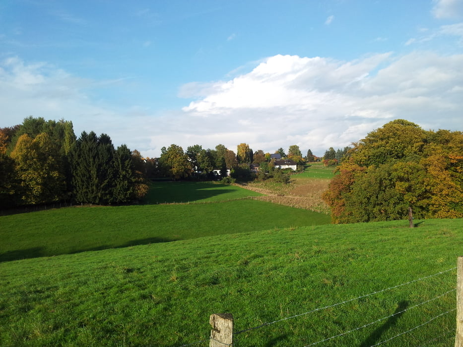
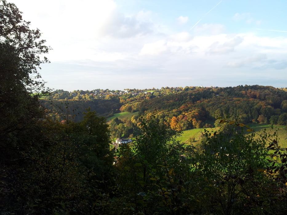
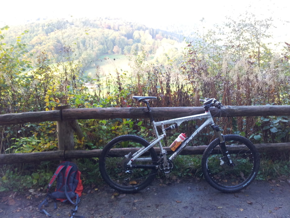
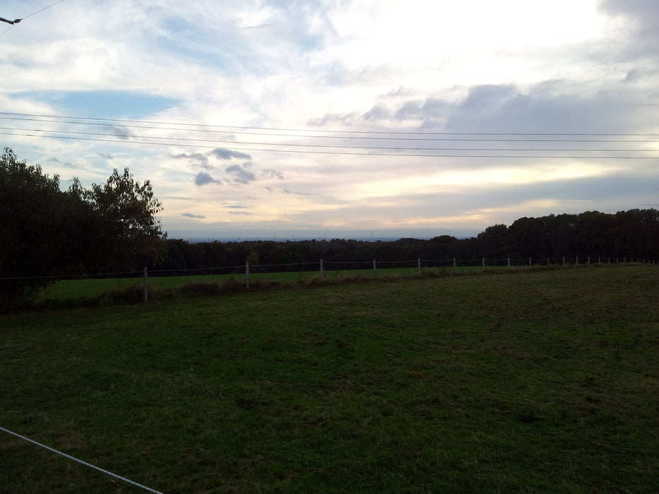
Die Tour führt durch die herbstlichen Wälder durch das Wersbachtal Richtung Diepental, Durch das Wersbachtal in die Wupperberge. Meist werden breite Wanderwege befahren aber der Spaßfaktor kommt durch einige technische Singletrails nicht zu kurz.

Tour gallery

Tour map and elevation profile

  • Open Street Map
  • Google
Minimum height 77 m Maximum height 236 m Detailed view

More about the tour author

michafischa
Member since 2011

Send private message

Comments

GPS tracks

Trackpoints
  • GPX / Garmin Map Source (gpx) download
  • TCX / Garmin Training Center® (tcx) download
  • CRS / Garmin Training Center® (crs) download
  • Google Earth (kml) download
  • G7ToWin (g7t) download
  • TTQV (trk) download
  • Overlay (ovl) download
  • Fugawi (txt) download
  • Kompass (DAV) Track (tk) download
  • Track data sheet (pdf) download
  • Original file of the author (gpx) download

More about the tour author

michafischa
Member since 2011

Send private message
Share track
Add to my favorites
Remove from my favorites
Edit tags
My score
Rate
Track: Durch die Herbstwälder
Type: Mountain bike
Distance: 25,8 km
Evaluated on:
Duration:
Day(s)
Hour(s)
Minute(s)
Score: Landscape Fun factor Fitness Technique