Login

Forgot your login?

Cookies have to be accepted!
Your browser's cookie functionality is disabled. Please enable this functionality.

Not a member yet?

Register now
Login

Available for registred users only

Log in to use this feature.

Forgot your login?

Cookies have to be accepted!
Your browser's cookie functionality is disabled. Please enable this functionality.

Not a member yet?

Register now
Filter
Categories
Advanced filters
  • Distance (km)
  • Height
Save filters Reset filter

TrackRank

QRCode

Technical data

Distance50,2 km Height480 m Way down413 m Duration02:33 h:m Date26.10.2013
Scores Author Landscape Fun factor Fitness Technique

Statistics

109 Views Scores 10 Downloads Average
Rate
  • Track data sheet
  • Directions
  • Downloads

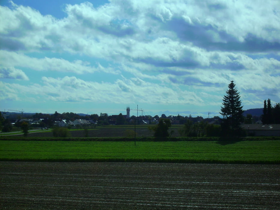
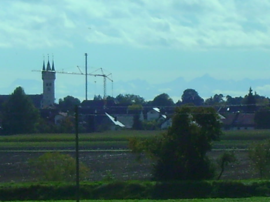
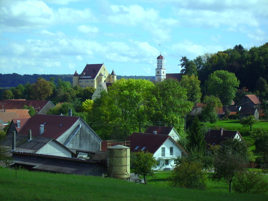
Start auf dem HW4 mit leichten Abweichungen. Schleife um Dietenheim mit Alpenblick. Ab Oberbalzheim. Dann wieder zurück über HW4 


Tour gallery

Tour map and elevation profile

  • Open Street Map
  • Google
Minimum height 455 m Maximum height 614 m Detailed view

More about the tour author

painfully58
Member since 2008

Send private message

Comments

GPS tracks

Trackpoints
  • GPX / Garmin Map Source (gpx) download
  • TCX / Garmin Training Center® (tcx) download
  • CRS / Garmin Training Center® (crs) download
  • Google Earth (kml) download
  • G7ToWin (g7t) download
  • TTQV (trk) download
  • Overlay (ovl) download
  • Fugawi (txt) download
  • Kompass (DAV) Track (tk) download
  • Track data sheet (pdf) download
  • Original file of the author (gpx) download

More about the tour author

painfully58
Member since 2008

Send private message
Share track
Add to my favorites
Remove from my favorites
Edit tags
My score
Rate
Track: Steinberg Oberbalzheim
Type: Mountain bike
Distance: 50,2 km
Evaluated on:
Duration:
Day(s)
Hour(s)
Minute(s)
Score: Landscape Fun factor Fitness Technique