


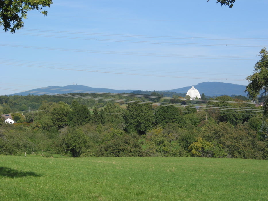
Start und Ziel der Tour ist am besten der Sportplatz in Langenhain. Hier kann man sein Auto normalerweise ohne Probleme parken. Mit dem Bus ist Langenhain von Hofheim aus zu erreichen.
Tour gallery

Tour map and elevation profile
Minimum height 253 m
Maximum height 374 m
More about the tour author
|
|
Rocky-Ritzel |
Comments

S2 nach Hofheim am Taunus und von da aus mit dem Bus 403 nach Langenhain. An der Haltestelle Gartenfeldstraße aussteigen. Dann dem Bus folgen bis zur nächsten Kreuzung und dann nach Rechts zum Sportplatz.Mit dem PKW auf der A66 Abfahrt Hattersheim. Richtung Eppstein und dann in Höhe von Hofheim auf die Vincentstraße nach Langenhain abbiegen. In Langenhain der Vorfahrtsstraße folgen und hinter der Fußgängerampel Rechts abbiegen und dann bis zum Sportplatz fahren. Parken auf dem Festplatz.
GPS tracks
Trackpoints-
GPX / Garmin Map Source (gpx) download
-
TCX / Garmin Training Center® (tcx) download
-
CRS / Garmin Training Center® (crs) download
-
Google Earth (kml) download
-
G7ToWin (g7t) download
-
TTQV (trk) download
-
Overlay (ovl) download
-
Fugawi (txt) download
-
Kompass (DAV) Track (tk) download
-
Track data sheet (pdf) download
-
Original file of the author (gpx) download
More about the tour author
|
|
Rocky-Ritzel |
Add to my favorites
Remove from my favorites
Edit tags
Open track
My score
Rate