


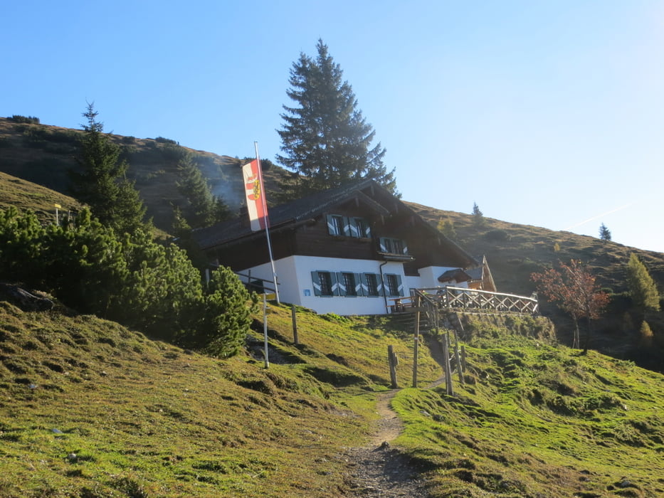
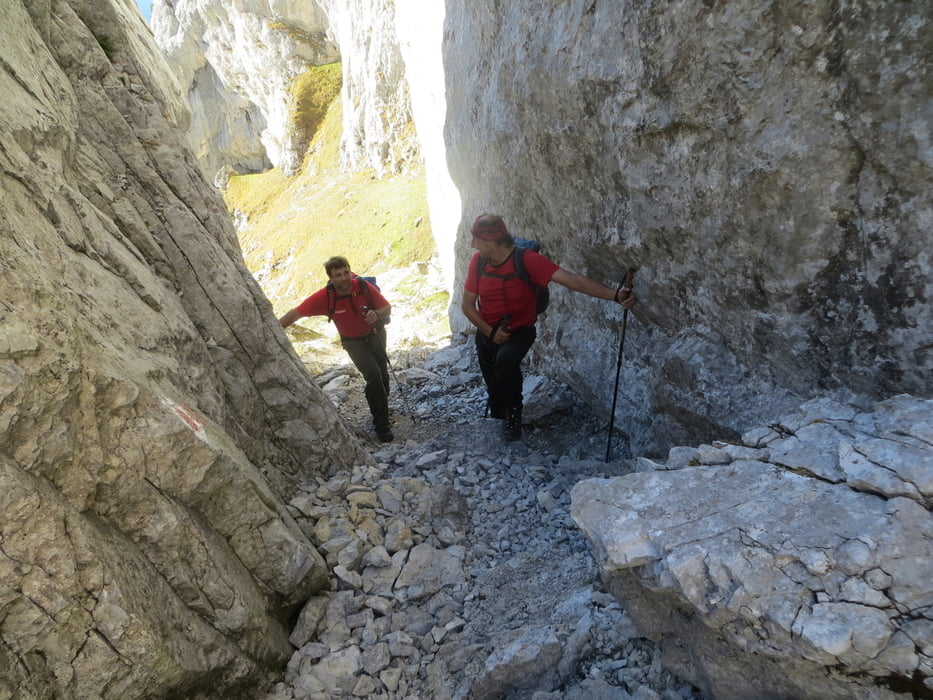
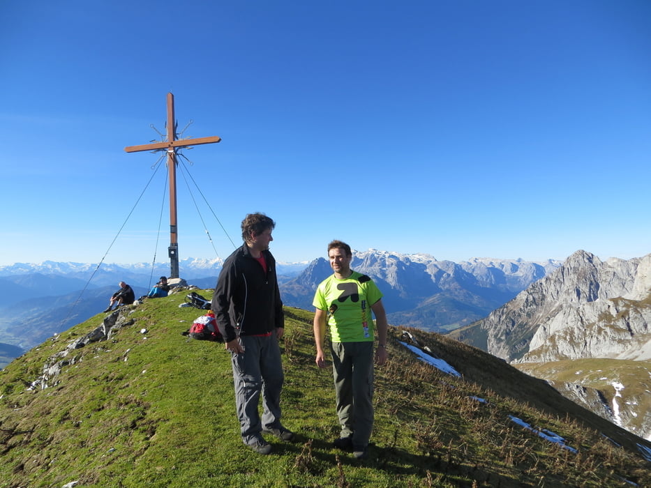
Ausgangspunkt ist das Gasthaus Wengerau. Zuerst über eine Almwiese in den Wald, dann steil über Serpentinen und einigen Holztreppen zur Hacklhütte. Weiter über Almwiesen und Latschen hinauf zum Tauernscharte. Hier wird es immer Felsiger und ein kurzes Stück ist Seilversichert. Nach der Scharte geht es relativ gerade hinauf zum Gipfel.
Vom Ausgangspunkt bis zum Gipfel eine sehr schöne Bergtour im Naturschutzgebiet Tennengebirge. Einkehrmöglichkeiten gibt es unten im Gasthaus Wengerau und nach ca. 1 Stunde Gehzeit in der Hacklhütte.
mehr Fotos. seppdepp.heim.at
Tour gallery

Tour map and elevation profile
Minimum height 956 m
Maximum height 2245 m
More about the tour author
|
|
Atzbach |
Comments

GPS tracks
Trackpoints-
GPX / Garmin Map Source (gpx) download
-
TCX / Garmin Training Center® (tcx) download
-
CRS / Garmin Training Center® (crs) download
-
Google Earth (kml) download
-
G7ToWin (g7t) download
-
TTQV (trk) download
-
Overlay (ovl) download
-
Fugawi (txt) download
-
Kompass (DAV) Track (tk) download
-
Track data sheet (pdf) download
-
Original file of the author (gpx) download
More about the tour author
|
|
Atzbach |
Add to my favorites
Remove from my favorites
Edit tags
Open track
My score
Rate