


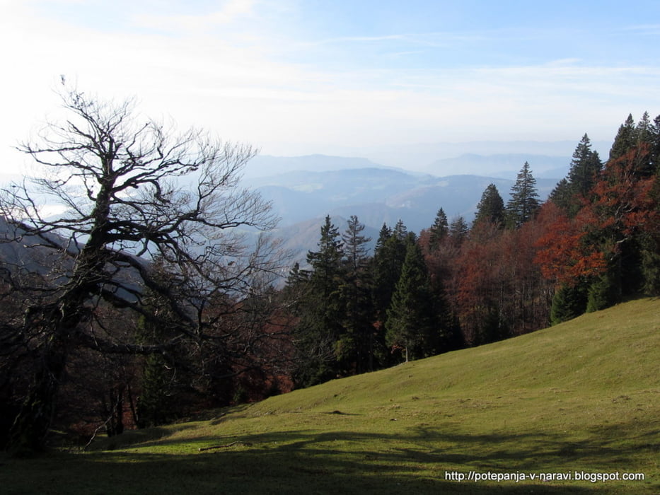
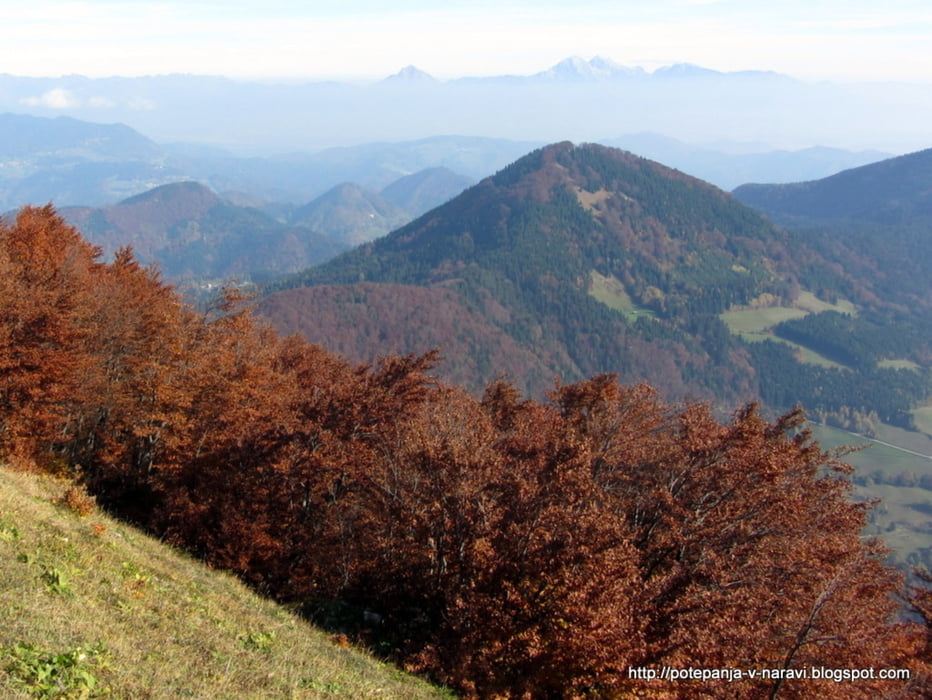
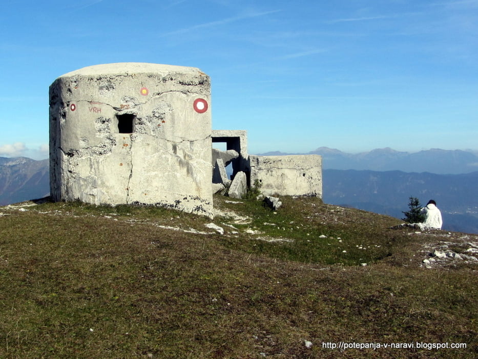
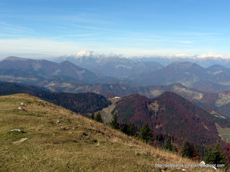
Vzpon na Blegoš iz Volaka. Odsek od Koče na Blegošu do vrha je izpeljan krožno, s prečenjem po južni strani, vzponom z jugovhoda in spustom po zahodnem pobočju.
Further information at
http://potepanja-v-naravi.blogspot.com/2013/10/blegos.htmlTour gallery
Tour map and elevation profile
Minimum height 590 m
Maximum height 1562 m
More about the tour author
|
|
ExAmigan |
Comments

Od Škofje Loke po Poljanski dolini mimo Gorenje vasi, desno proti Hotavljam, mimo tovarne Marmor Hotavlje in nato levo ob Volaščici vse do majhnega parkirišča ob izlivu Javorjeve grape vanjo.
GPS tracks
Trackpoints-
GPX / Garmin Map Source (gpx) download
-
TCX / Garmin Training Center® (tcx) download
-
CRS / Garmin Training Center® (crs) download
-
Google Earth (kml) download
-
G7ToWin (g7t) download
-
TTQV (trk) download
-
Overlay (ovl) download
-
Fugawi (txt) download
-
Kompass (DAV) Track (tk) download
-
Track data sheet (pdf) download
-
Original file of the author (gpx) download
More about the tour author
|
|
ExAmigan |
Add to my favorites
Remove from my favorites
Edit tags
Open track
My score
Rate