


Tour-Thema: Wintersportgebiete in der Schneifel (Schnee Eifel).
Strecke:
- Start Prüm Zentrum
- Steigung zur Wolfsschlucht Skihütte
- Abfahrt Wolfsschlucht Lift Talstation
- Steigung zur Langlaufloipe - teilweise über Wanderweg "Blockhaus Schwarzer Mann"
- über Wascheid zum Schwarzer mann
==> eine Mittagspause im Blockhaus lohnt sich!
Zurück nach Prüm:
- Anfangs einige einfache Trails (flach oder als Abfahrt)
- Richtung Gondenbrett, teilweise über Jakobsweg
- Schwere aber schöne Steigung ab Gondenbrett nach Prüm, bis zum Eifelblick !!!
- In Prüm über Kalvarienberg Richtung Zentrum
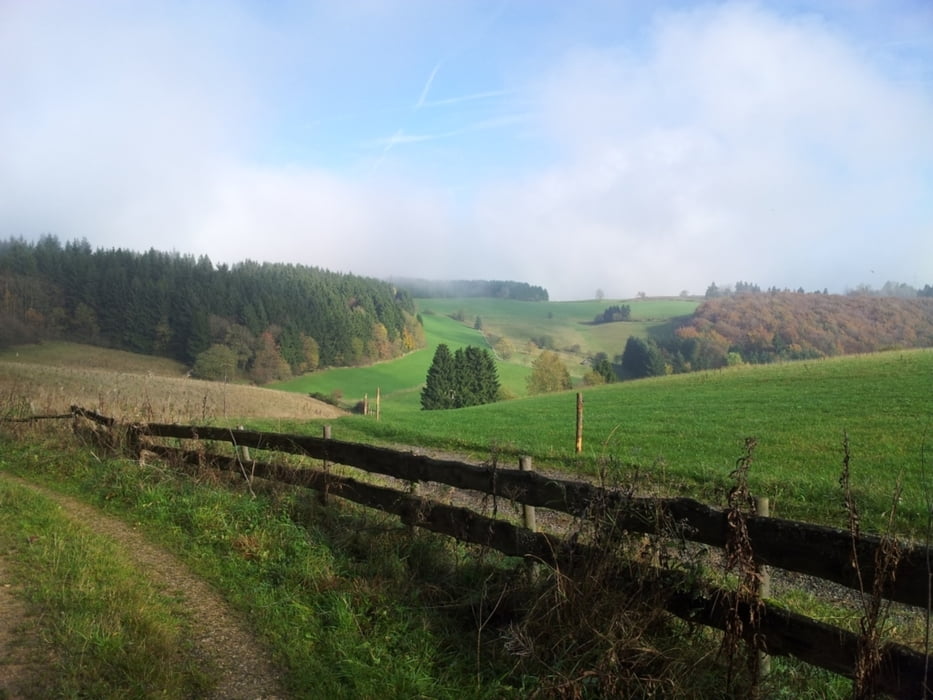
Herrlich ruhig in die Wälder; hin und wieder schönen Weitblick; entschleunigung pur.
Tour gallery


Tour map and elevation profile
Minimum height 436 m
Maximum height 697 m
More about the tour author

|
luxgps |
Comments

Prüm ist einfach zu erreichen über die
- A60 (Süden: Koblenz, Wittlich; Norden: Aachen, St. Vith, Maastricht)
- B51 (Süden: Luxemburg, Trier, Norden: Köln, Euskirchen)
GPS tracks
Trackpoints-
GPX / Garmin Map Source (gpx) download
-
TCX / Garmin Training Center® (tcx) download
-
CRS / Garmin Training Center® (crs) download
-
Google Earth (kml) download
-
G7ToWin (g7t) download
-
TTQV (trk) download
-
Overlay (ovl) download
-
Fugawi (txt) download
-
Kompass (DAV) Track (tk) download
-
Track data sheet (pdf) download
-
Original file of the author (gpx) download
More about the tour author
|
|
luxgps |
Add to my favorites
Remove from my favorites
Edit tags
Open track
My score
Rate