


- Rundkurs gegen den Uhrzeigersinn von Meran zu den Muthöfen, oberhalb von Dorf Tirol.
- 11,5 Km./ 500 HM. auf geteerten Nebenstrassen zum Schloss Tirol, nach Dorf Tirol.
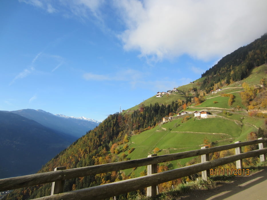
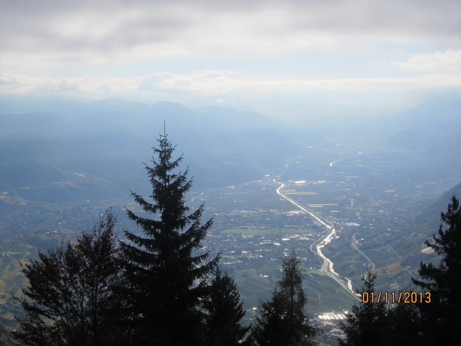
- 5 Km./ 600 HM. auf schönem Forstweg, gleichmässig mittelsteil, mit herrlichem Ausblick auf das Etschtal und den Vinschgau, zu den Hochmuth-Höfen(Bergstation Seilbahn von Dorf Tirol).
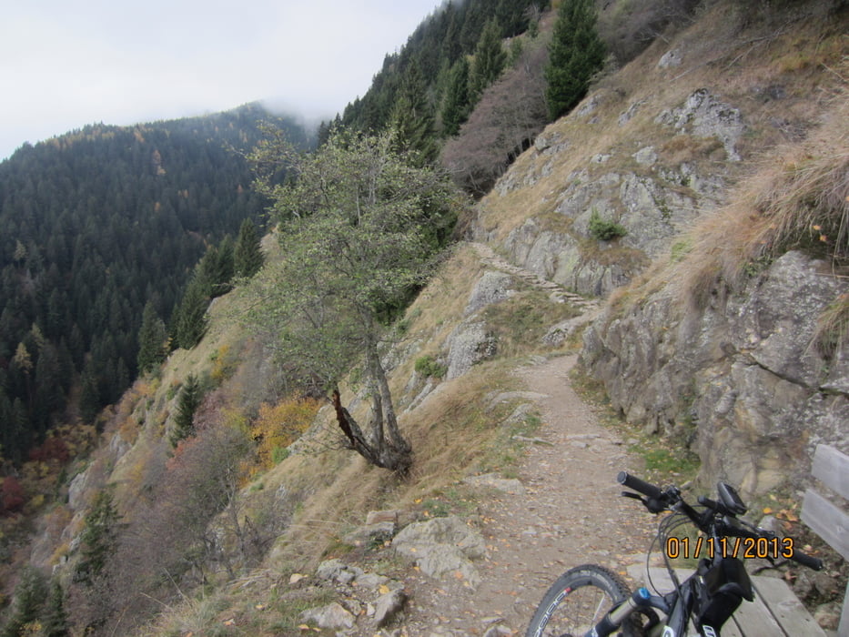
- 2 Km auf dem fast ebenen, breiten, teils stark ausgesetzten Höhenweg zur Leiteralm(es herrscht absolutes Radverbot). Wähernd der Tourismus-Saison, Mai bis Oktober, findet eine Völkerwanderung statt. Der Weg kann evtl. auf 40% der Strecke befahren werden.
- Am Ende des Höhenweges ca. 400 Mt./ 50 HM bis zur Leiteralm schieben (auch am 1.11.13 bewirtschaftet)
- Start/Ziel: Meran/Marling, Marlingerbrücke, grosser öffentlicher Parkplatz neben Piccolo-Hotel.
NB. Radl-Verbot auf dem Höhenweg von den Muthöfen zur Leiteralm.
Tour gallery

Tour map and elevation profile
Minimum height 204 m
Maximum height 1524 m
More about the tour author
|
|
MargesinFriedrich |
Comments

GPS tracks
Trackpoints-
GPX / Garmin Map Source (gpx) download
-
TCX / Garmin Training Center® (tcx) download
-
CRS / Garmin Training Center® (crs) download
-
Google Earth (kml) download
-
G7ToWin (g7t) download
-
TTQV (trk) download
-
Overlay (ovl) download
-
Fugawi (txt) download
-
Kompass (DAV) Track (tk) download
-
Track data sheet (pdf) download
-
Original file of the author (gpx) download
More about the tour author
|
|
MargesinFriedrich |
Add to my favorites
Remove from my favorites
Edit tags
Open track
My score
Rate