


Diese Tour ist angelehnt an einer Tour aus dem MountainBIKE Magazin (www.mountainbike-magazin.de). Allerdings ist der richtige Weg der Tour im Uhrzeigersinn. Ich selber habe die Tour "linksherum" gestartet und somit war dieses auch eher eine Wandertour: In verkehrter Richtung muss viel geschoben werden.
Alle Bilder der Tour gibt es hier: www.panoramio.com/photo/98657320
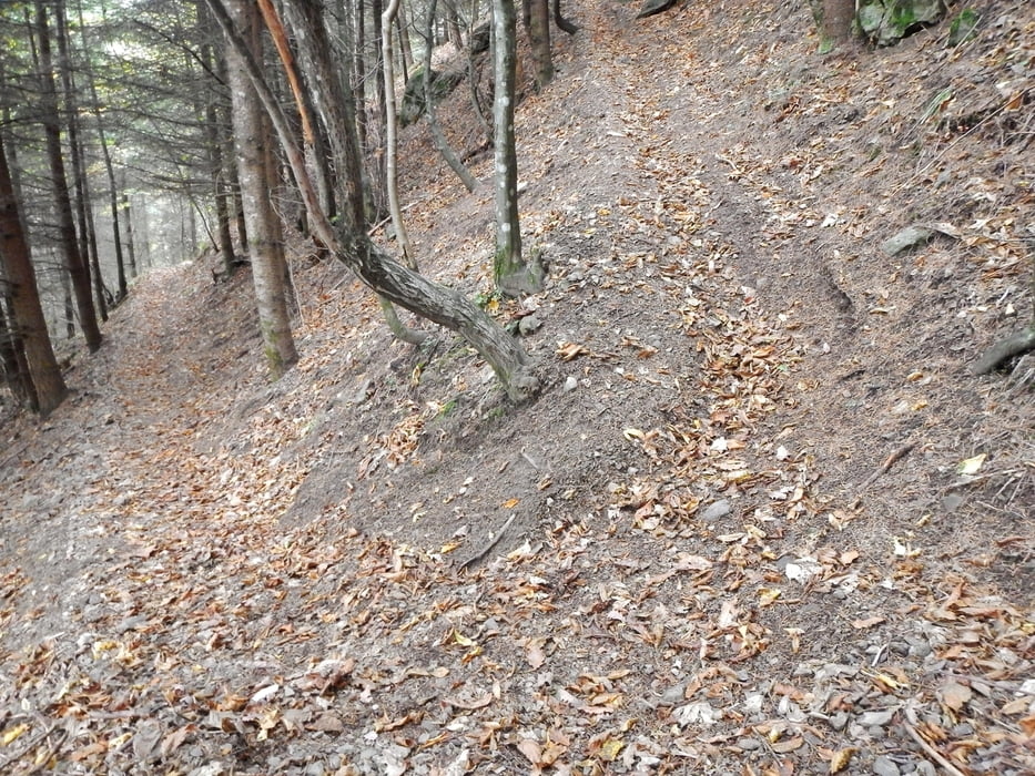
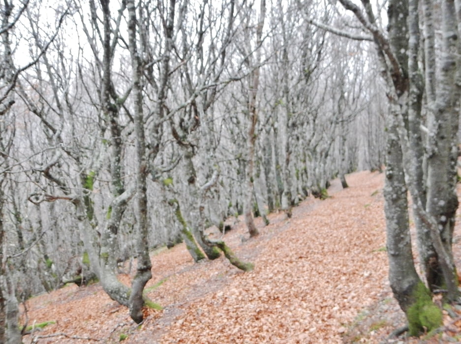
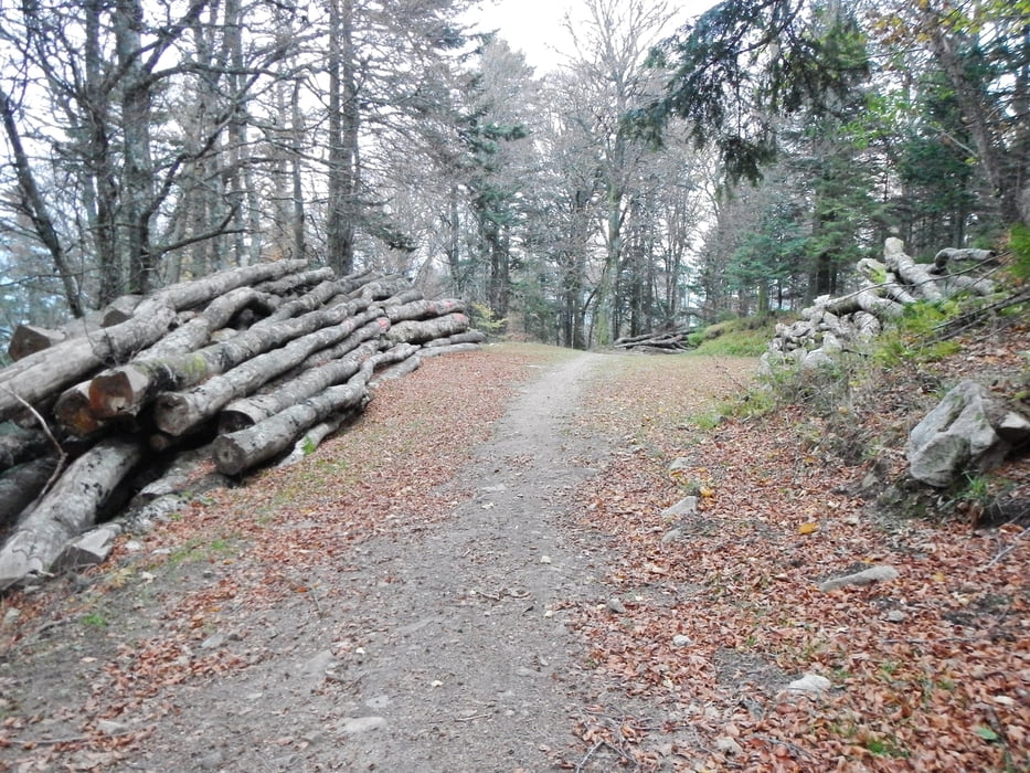
Die Wege sind in der Regel Singletrails und gehen durch den Wald. An manchen Stellen gibt es schöne Aussichten.
Vom Le Grand Ballon hat man in der Regel tolle Aussichten. Bei mir nicht: Ich war mitten in den Wolken.
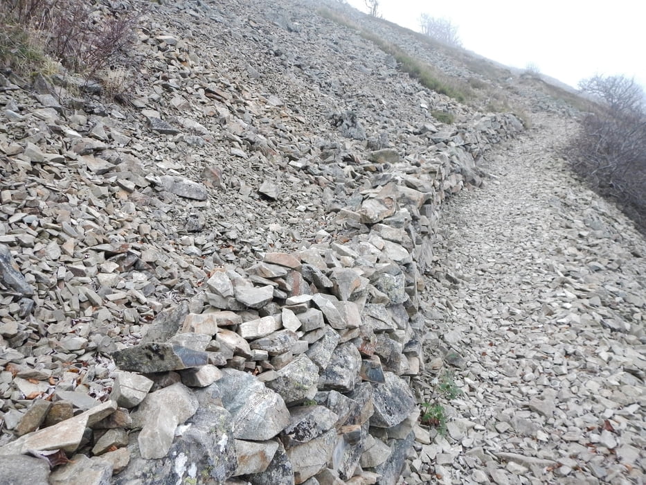
Abwärts vom Le Grand Balllon geht es sehr gut zu fahren. Wer geübt ist, schafft (in Uhrzeigerrichtung) die Anstiege: Somit ist die Tour im Uhrzeigersinn anspruchsvoll, aber fahrbar.
Further information at
http://www.parc-ballons-vosges.fr/decouverte/de/startseite.htmlTour gallery
Tour map and elevation profile
Minimum height 420 m
Maximum height 1443 m
More about the tour author
|
|
MatthiasBy |
Comments

Es gibt kostenlose Parkplätze in Murbach. Weitere Informationen gibt es hier: de.wikipedia.org/wiki/Kloster_Murbach
GPS tracks
Trackpoints-
GPX / Garmin Map Source (gpx) download
-
TCX / Garmin Training Center® (tcx) download
-
CRS / Garmin Training Center® (crs) download
-
Google Earth (kml) download
-
G7ToWin (g7t) download
-
TTQV (trk) download
-
Overlay (ovl) download
-
Fugawi (txt) download
-
Kompass (DAV) Track (tk) download
-
Track data sheet (pdf) download
-
Original file of the author (gpx) download
More about the tour author
|
|
MatthiasBy |
Add to my favorites
Remove from my favorites
Edit tags
Open track
My score
Rate