Login

Forgot your login?

Cookies have to be accepted!
Your browser's cookie functionality is disabled. Please enable this functionality.

Not a member yet?

Register now
Login

Available for registred users only

Log in to use this feature.

Forgot your login?

Cookies have to be accepted!
Your browser's cookie functionality is disabled. Please enable this functionality.

Not a member yet?

Register now
Filter
Categories
Advanced filters
  • Distance (km)
  • Height
Save filters Reset filter

TrackRank

QRCode

Technical data

Distance16,6 km Height166 m Way down162 m Duration00:00 h:m Date03.11.2013
Scores Author Landscape Fun factor Fitness Technique

Statistics

186 Views Scores 38 Downloads Average
Rate
  • Track data sheet
  • Directions
  • Downloads

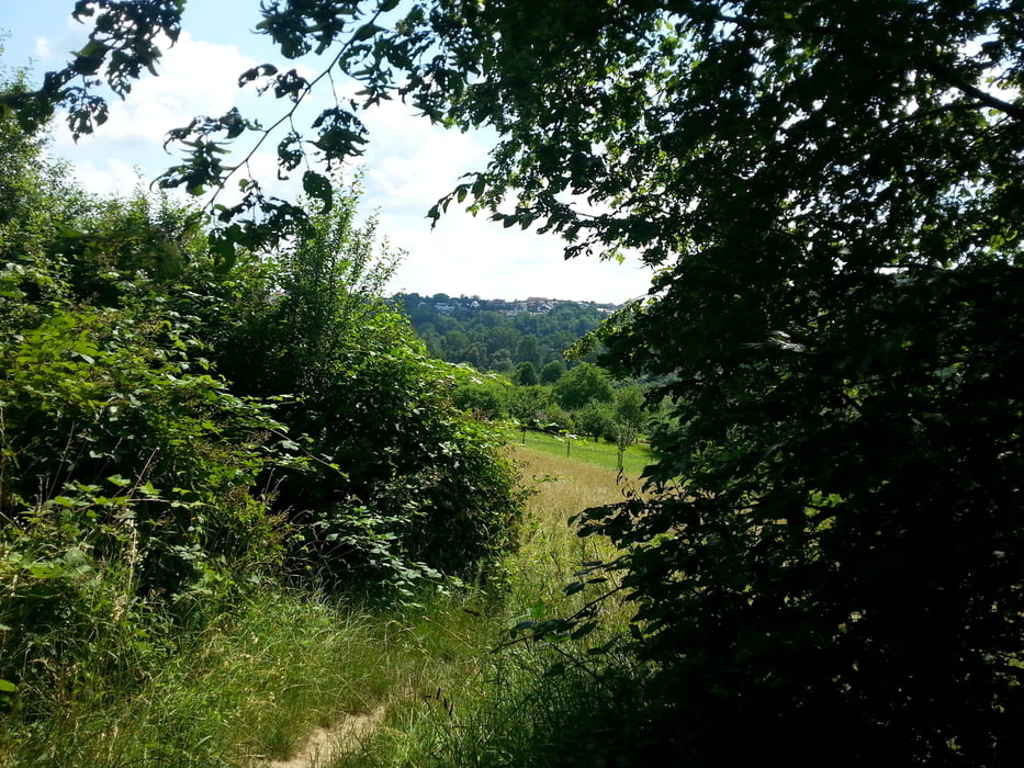
Wie üblich Start am TSV Parkplatz,dann in Richtung Hundesportplatz-Freiberg-Jahrtausendhügel.

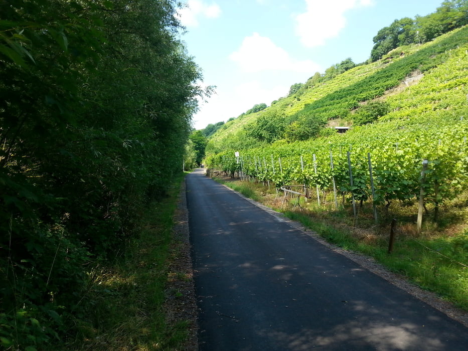
Nach überqueren der Landstrasse rein in die Weinberge und oberhalb des Neckars entlang.

Bei der Stausufe Marbach dann zurück am Neckarradweg über Hoheneck-Favoritenpark zum Parkplatz.

Tour gallery

Tour map and elevation profile

  • Open Street Map
  • Google
Minimum height 195 m Maximum height 281 m Detailed view

More about the tour author

Voitl-Fan
Member since 2008

Send private message

Comments

GPS tracks

Trackpoints
  • GPX / Garmin Map Source (gpx) download
  • TCX / Garmin Training Center® (tcx) download
  • CRS / Garmin Training Center® (crs) download
  • Google Earth (kml) download
  • G7ToWin (g7t) download
  • TTQV (trk) download
  • Overlay (ovl) download
  • Fugawi (txt) download
  • Kompass (DAV) Track (tk) download
  • Track data sheet (pdf) download
  • Original file of the author (gpx) download

More about the tour author

Voitl-Fan
Member since 2008

Send private message
Share track
Add to my favorites
Remove from my favorites
Edit tags
My score
Rate
Track: Hausrunde ab Eglosheim
Type: Mountain bike
Distance: 16,6 km
Evaluated on:
Duration:
Day(s)
Hour(s)
Minute(s)
Score: Landscape Fun factor Fitness Technique