Login

Forgot your login?

Cookies have to be accepted!
Your browser's cookie functionality is disabled. Please enable this functionality.

Not a member yet?

Register now
Login

Available for registred users only

Log in to use this feature.

Forgot your login?

Cookies have to be accepted!
Your browser's cookie functionality is disabled. Please enable this functionality.

Not a member yet?

Register now
Filter
Categories
Advanced filters
  • Distance (km)
  • Height
Save filters Reset filter

TrackRank

QRCode

Technical data

Distance44,3 km Height1156 m Way down1194 m Duration03:30 h:m Date04.11.2013
Scores Author Landscape Fun factor Fitness Technique

Statistics

466 Views Scores 116 Downloads Average
Rate
  • Track data sheet
  • Directions
  • Downloads
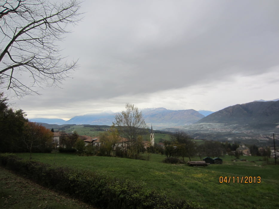
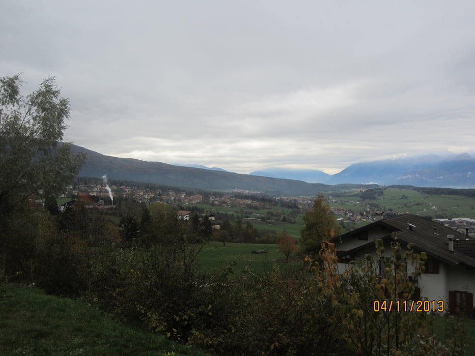
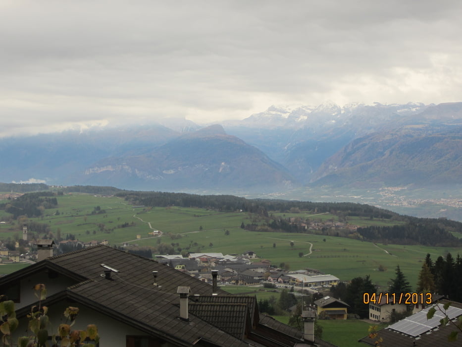
  • Rundkurs Im Uhrzeigersinn durch die Dörfer u. Wälder des Nonsberg, um Fondo, Cavareno usw.
  • Ein Auf und Ab auf Forstwegen, gespickt mit kurzen,  mittelsteilen Anstiegen. Kurze Abschnitte auf breiten Fusswegen, und einige Kilometer auf geteerten Radwegen durch Wiesen u.Felder.
  • Start/Ziel: Vom Gampenpass kommend Parkmöglichkeiten an der Dorfeinfahrt von Fondo, bzw. beim Lago Smeraldo.

Tour gallery

Tour map and elevation profile

  • Open Street Map
  • Google
Minimum height 854 m Maximum height 1323 m Detailed view

More about the tour author

MargesinFriedrich
Member since 2012

Send private message

Comments

GPS tracks

Trackpoints
  • GPX / Garmin Map Source (gpx) download
  • TCX / Garmin Training Center® (tcx) download
  • CRS / Garmin Training Center® (crs) download
  • Google Earth (kml) download
  • G7ToWin (g7t) download
  • TTQV (trk) download
  • Overlay (ovl) download
  • Fugawi (txt) download
  • Kompass (DAV) Track (tk) download
  • Track data sheet (pdf) download
  • Original file of the author (gpx) download

More about the tour author

MargesinFriedrich
Member since 2012

Send private message
Share track
Add to my favorites
Remove from my favorites
Edit tags
My score
Rate
Track: Durch Dörfer u. Wälder im Nonstal-Rundkurs
Type: Mountain bike
Distance: 44,3 km
Evaluated on:
Duration:
Day(s)
Hour(s)
Minute(s)
Score: Landscape Fun factor Fitness Technique