


Zu den Quellen
Rif.Pramosio-Timau-Rif.Marinelli-Forni Avoltri-
Rif.Sorgenti del Piave
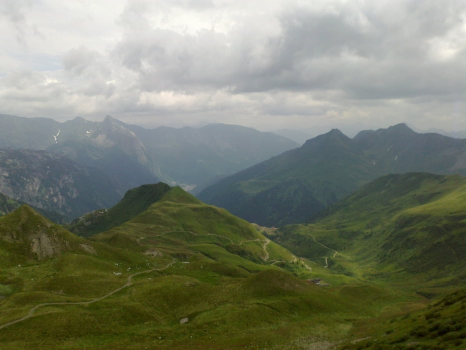
Wieder einmal ein Klassiker: 2 Berge und basta! Gewisse Abschnitte auf die
Marinelli Hütte zu steil für mich bzw. zu grobschottrig. Der "Römerweg" mit
großen festen Steinen hin zum Ziel eine lässige Herausforderung. Landschaft wieder ein Juwel, v.a. auf der Rif. Sorgenti! Monte Peralba!.
Hütte vorwiegend Ziel von Tagesausflüglern, kaum Nächtigungen. Mit der Wirtin
sehr nett im Urdialekt (Defreggerisch!) unterhalten.
Tour gallery


Tour map and elevation profile
Minimum height 840 m
Maximum height 2113 m
More about the tour author
|
|
mitter |
Comments

Start beim Rifugio Pramosio.
GPS tracks
Trackpoints-
GPX / Garmin Map Source (gpx) download
-
TCX / Garmin Training Center® (tcx) download
-
CRS / Garmin Training Center® (crs) download
-
Google Earth (kml) download
-
G7ToWin (g7t) download
-
TTQV (trk) download
-
Overlay (ovl) download
-
Fugawi (txt) download
-
Kompass (DAV) Track (tk) download
-
Track data sheet (pdf) download
-
Original file of the author (gpx) download
More about the tour author
|
|
mitter |
Add to my favorites
Remove from my favorites
Edit tags
Open track
My score
Rate