


incontri originali
Tarscher Alm-Morter-Schlanders-Prad-Furkelhütte-Trafoi
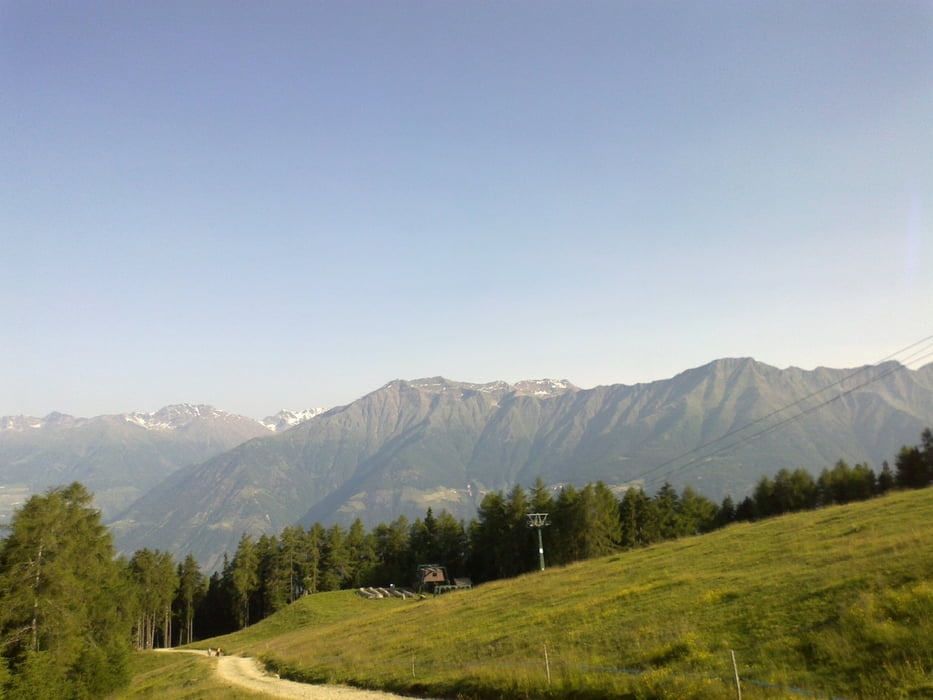
Rassige Abfahrt von der Tarscher Alm. Nach Morter hätte ich schon früher abbiegen sollen.
In Schlanders gibt es einen Supermarkt, der auch am Sonntag offen hat.
Die Auffahrt Rg. Furkelhütte zunächst sehr hart, weil die Hitze enorm drückt. Je höher desto besser!
Leider ist Furkelhütte kein rifugio mehr, nur noch ristoro, dh. Keine Übernachtung möglich!
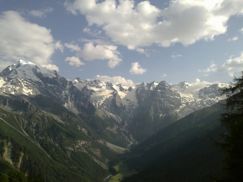
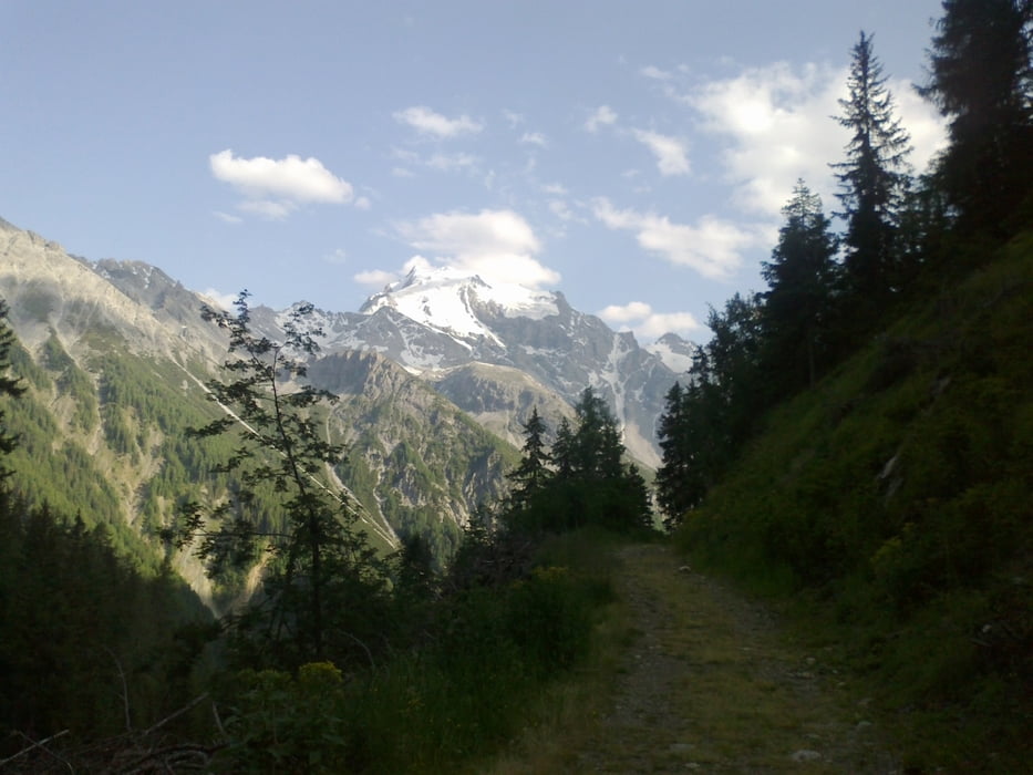
Wieder hinunter 600hm! Bis Trafoi.
Tour gallery
Tour map and elevation profile
Minimum height 693 m
Maximum height 2148 m
More about the tour author
|
|
mitter |
Comments

Start auf der originalen Tarscher Alm (gutes Essen!).
GPS tracks
Trackpoints-
GPX / Garmin Map Source (gpx) download
-
TCX / Garmin Training Center® (tcx) download
-
CRS / Garmin Training Center® (crs) download
-
Google Earth (kml) download
-
G7ToWin (g7t) download
-
TTQV (trk) download
-
Overlay (ovl) download
-
Fugawi (txt) download
-
Kompass (DAV) Track (tk) download
-
Track data sheet (pdf) download
-
Original file of the author (gpx) download
More about the tour author
|
|
mitter |
Add to my favorites
Remove from my favorites
Edit tags
Open track
My score
Rate