Login

Forgot your login?

Cookies have to be accepted!
Your browser's cookie functionality is disabled. Please enable this functionality.

Not a member yet?

Register now
Login

Available for registred users only

Log in to use this feature.

Forgot your login?

Cookies have to be accepted!
Your browser's cookie functionality is disabled. Please enable this functionality.

Not a member yet?

Register now
Filter
Categories
Advanced filters
  • Distance (km)
  • Height
Save filters Reset filter

TrackRank

QRCode

Technical data

Distance87,0 km Height1967 m Way down1009 m Duration06:04 h:m Date19.11.2013
Scores Author Landscape Fun factor Fitness Technique

Statistics

731 Views Scores 63 Downloads Average
Rate
  • Track data sheet
  • Directions
  • Downloads

easy going


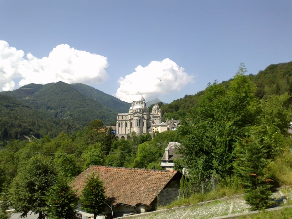
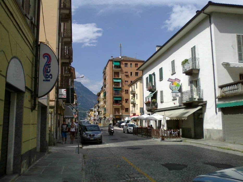
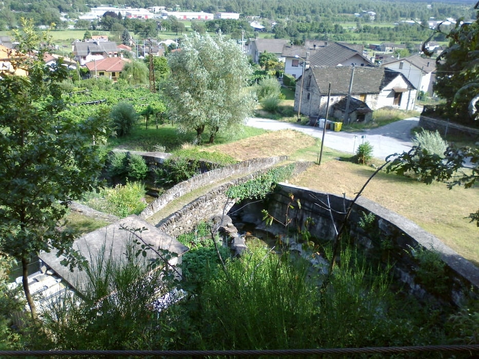
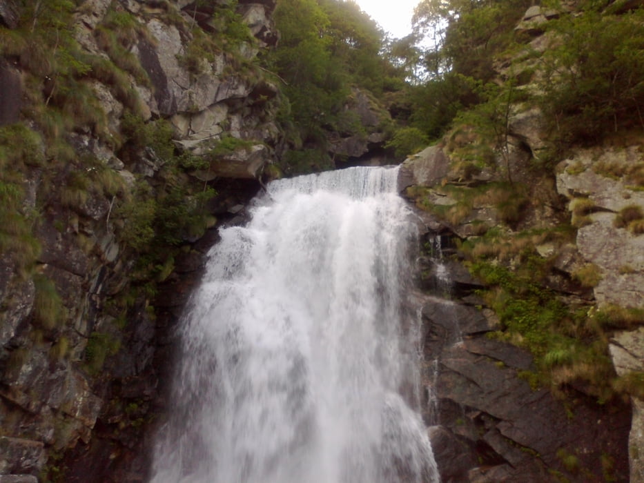
Cavigliano-Re-Malesco-Domodossola-Villadossola-Macugnaga

Reine Straßenetappe, trotzdem recht schön. 2 x in die Werkstatt -
die Bremsen passen wieder. Hotel Macugnaga ok.

Tour gallery

Tour map and elevation profile

  • Open Street Map
  • Google
Minimum height 235 m Maximum height 1288 m Detailed view

More about the tour author

mitter
Member since 2008

Send private message

Comments

Start in Cavigliano.


GPS tracks

Trackpoints
  • GPX / Garmin Map Source (gpx) download
  • TCX / Garmin Training Center® (tcx) download
  • CRS / Garmin Training Center® (crs) download
  • Google Earth (kml) download
  • G7ToWin (g7t) download
  • TTQV (trk) download
  • Overlay (ovl) download
  • Fugawi (txt) download
  • Kompass (DAV) Track (tk) download
  • Track data sheet (pdf) download
  • Original file of the author (gpx) download

More about the tour author

mitter
Member since 2008

Send private message
Share track
Add to my favorites
Remove from my favorites
Edit tags
My score
Rate
Track: Cavigliano-Macugnaga (16. Etappe Ost-West 2013)
Type: Mountain bike
Distance: 87,0 km
Evaluated on:
Duration:
Day(s)
Hour(s)
Minute(s)
Score: Landscape Fun factor Fitness Technique