


poderali
Lignan-Alpe Seneve-Alpe Fiou-Blavy-Aosta
Die ersten ca 8km auf der Straße hinunter, dann beginnt die Steigung (Abzweigung: villes trois),
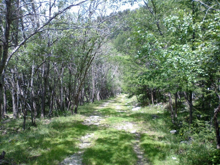
zunächst noch Asphalt, bald eine wenig genützte Schotterstraße. Von A. Seneve bis A. Fiou ist der Großteil zu schieben
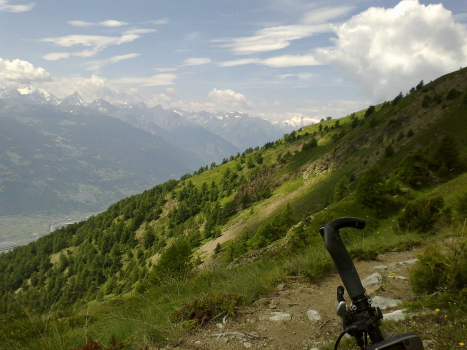
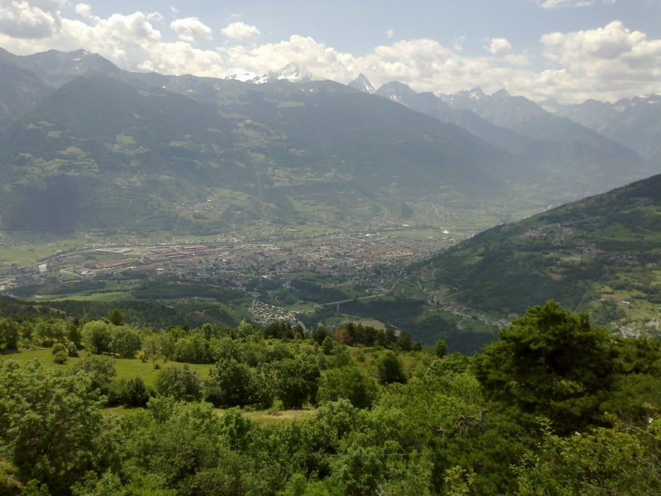
Herrlicher Blick über das Aostatal! Ab Fiou wieder Schotterpiste bis Blavy, dann
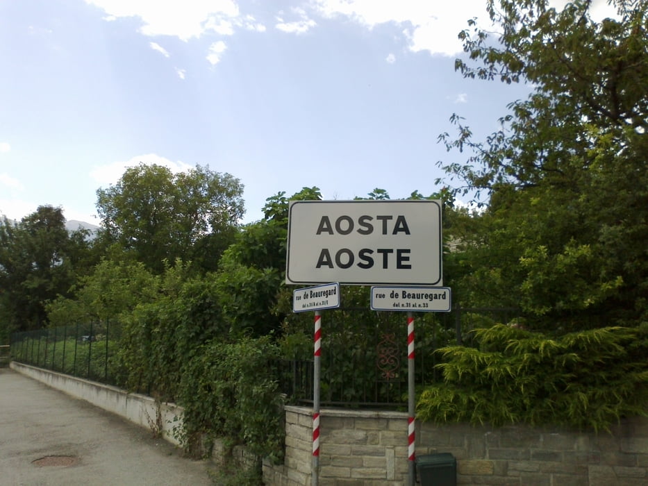
auf der Straßer hinunter nach Aosta. Ein schöner Abschluss meiner dreiwöchigen
"Ost-West"! Die Rückreise mit dem Zug gestaltete sich kompliziert: 7 Züge, eineinhalb Tage!
Tour gallery
Tour map and elevation profile
Minimum height 576 m
Maximum height 2379 m
More about the tour author
|
|
mitter |
Comments

Start in Lignan (Jugendherberge).
GPS tracks
Trackpoints-
GPX / Garmin Map Source (gpx) download
-
TCX / Garmin Training Center® (tcx) download
-
CRS / Garmin Training Center® (crs) download
-
Google Earth (kml) download
-
G7ToWin (g7t) download
-
TTQV (trk) download
-
Overlay (ovl) download
-
Fugawi (txt) download
-
Kompass (DAV) Track (tk) download
-
Track data sheet (pdf) download
-
Original file of the author (gpx) download
More about the tour author
|
|
mitter |
Add to my favorites
Remove from my favorites
Edit tags
Open track
My score
Rate