Login

Forgotten password?

Cookies have to be accepted!
Your browser's cookie functionality is disabled. Please enable this functionality.

Not a member yet?

Register now
Login

Available for registred users only

Log in to use this feature.

Forgotten password?

Cookies have to be accepted!
Your browser's cookie functionality is disabled. Please enable this functionality.

Not a member yet?

Register now
Filter
Categories
Advanced filters
  • Distance (km)
  • Height
Save filters Reset filter

TrackRank

QRCode

Technical data

Distance9,5 km Height68 m Way down72 m Duration02:31 h:m Date26.11.2013
Scores Author User Landscape Fun factor Fitness Technique

Statistics

2360 Views 1 Score 130 Downloads 5.00 Average
Rate
  • Track data sheet
  • Directions
  • Downloads


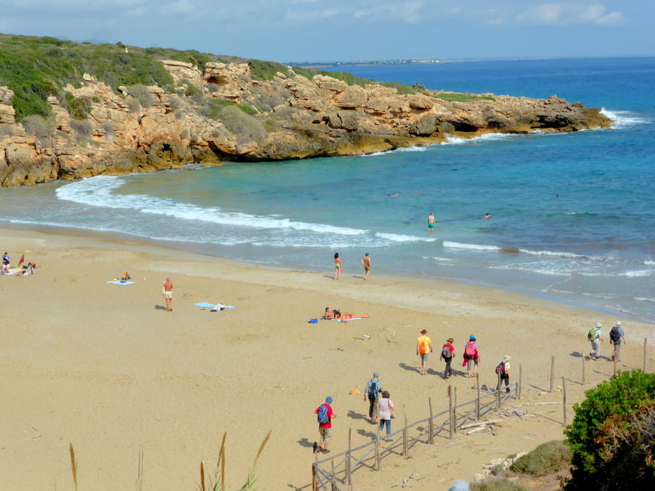
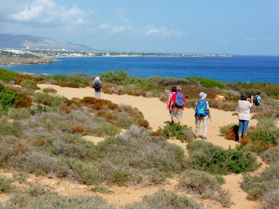
Wunderbarer Spaziergang entlang der Küste vorbei an Binnengewässern mit Flamingos. Sanddünen, Wachholderbüschen, Zwergpalmen, Olenander- und Mastixbäumen.

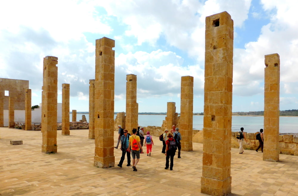
Die Reste einer alten Tunfischfabrik , eines Aussichtturms aus dem 15 Jh. sind zu sehen. Am Ende gibt es auch einen inoffiziellen Nacktbadestrand.


Further information at

http://de.wikipedia.org/wiki/Riserva_naturale_orientata_Oasi_faunistica_di_Vendicari

Tour gallery

Tour map and elevation profile

  • Open Street Map
  • Google
Minimum height 9 m Maximum height 39 m Detailed view

More about the tour author

horst1508
Member since 2012

Send private message

Comments

Pino-Captain on 01.05.2016

Vendicari-Tour

Das ist eine schöne Strecke, immer an der Küste entlang. Gegen Ende muss man einen Fluss durchwaten! Schuhe aus und durch, war kein Problem. horst1508 hat sie nur als one way Tour beschrieben. Für den Rückweg entweder die gleiche Strecke retour oder die Tour #149371: Da habe ich eine Alternative zunächst über eine stillgelegte Bahnstrecke, dann aber leider an der Straße entlang beschrieben.
Anfahrt über die Straße Noto nach Pachino, der ein ein Weg zum Naturpark nach Vendicari abzweigt

GPS tracks

Trackpoints
  • GPX / Garmin Map Source (gpx) download
  • TCX / Garmin Training Center® (tcx) download
  • CRS / Garmin Training Center® (crs) download
  • Google Earth (kml) download
  • G7ToWin (g7t) download
  • TTQV (trk) download
  • Overlay (ovl) download
  • Fugawi (txt) download
  • Kompass (DAV) Track (tk) download
  • Track data sheet (pdf) download
  • Original file of the author (gpx) download

More about the tour author

horst1508
Member since 2012

Send private message
Share track
Add to my favorites
Remove from my favorites
Edit tags
My score
Rate
Track: Vendicari: Naturschutzgebiet an der Südost-Küste Siziliens
Type: Hiking
Distance: 9,5 km
Evaluated on:
Duration:
Day(s)
Hour(s)
Minute(s)
Score: Landscape Fun factor Fitness Technique