


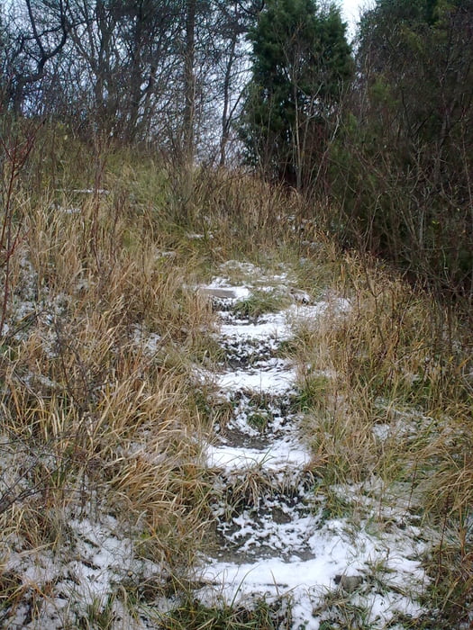
Vom Bahnhof Jena-Zwätzen duch das Saaletal - Gleistal - Jenalöbnitz - Auffahrt auf Wiesenweg - 5 min Tragen (schmal mit Treppen) -5 min Schieben - Auffahrt auf dem flachen Sattel zum Gipfel - leichte Abfahrt nach Graitschen - Fahrradweg nach Jena
Option 1: Abfahrt wie Aufstieg (technisch, da teilweise steile Treppen)
Option 2: Abfahrt nach Taupadel (mit Gegenanstieg, feiner Trail)
Option 3: Abfahrt nach Löberschütz (sehr technisch, steile Spitzkehren, querliegende Baumstämme)
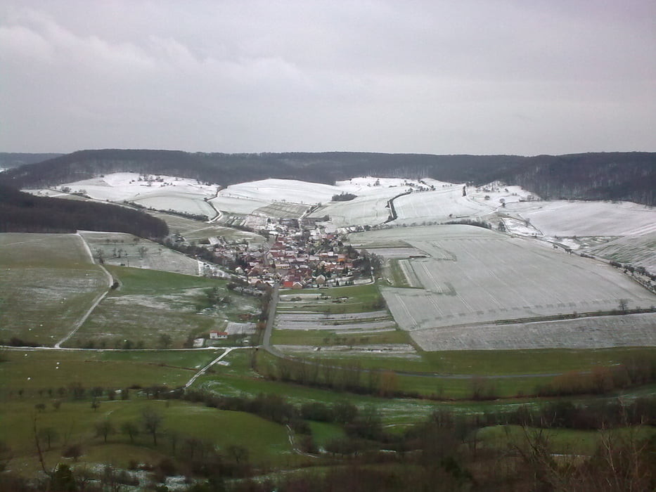
Tour gallery

Tour map and elevation profile
Minimum height 126 m
Maximum height 352 m
More about the tour author

|
MTBxyz |
Comments

GPS tracks
Trackpoints-
GPX / Garmin Map Source (gpx) download
-
TCX / Garmin Training Center® (tcx) download
-
CRS / Garmin Training Center® (crs) download
-
Google Earth (kml) download
-
G7ToWin (g7t) download
-
TTQV (trk) download
-
Overlay (ovl) download
-
Fugawi (txt) download
-
Kompass (DAV) Track (tk) download
-
Track data sheet (pdf) download
-
Original file of the author (gpx) download
More about the tour author
|
|
MTBxyz |
Add to my favorites
Remove from my favorites
Edit tags
Open track
My score
Rate