


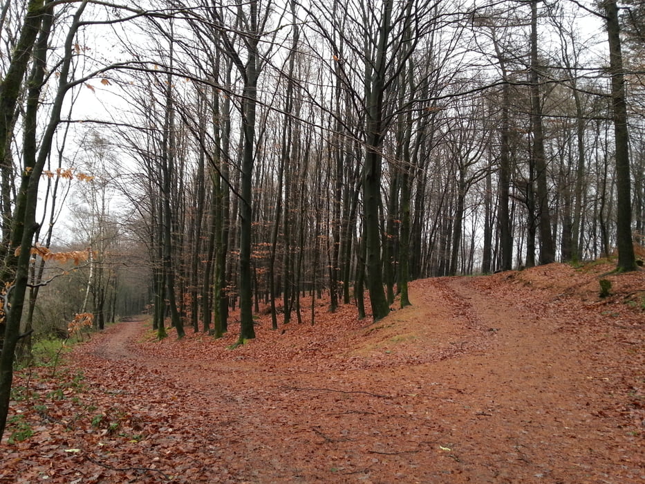
Die Tour stammt ursprünglich aus dem Wanderführer "Ruhrgebiet" des Bergverlag Rother. Leider war die Beschreibung nicht so detailliert, so dass wir an einer Stelle quer über Felder und durch tiefen Wald maschiert sind, um zur richtigen Strasse zurück zu kommen. Nur nicht wunder, wenn der Track auf einmal indie Pampa geht - ist richtig so. :-)
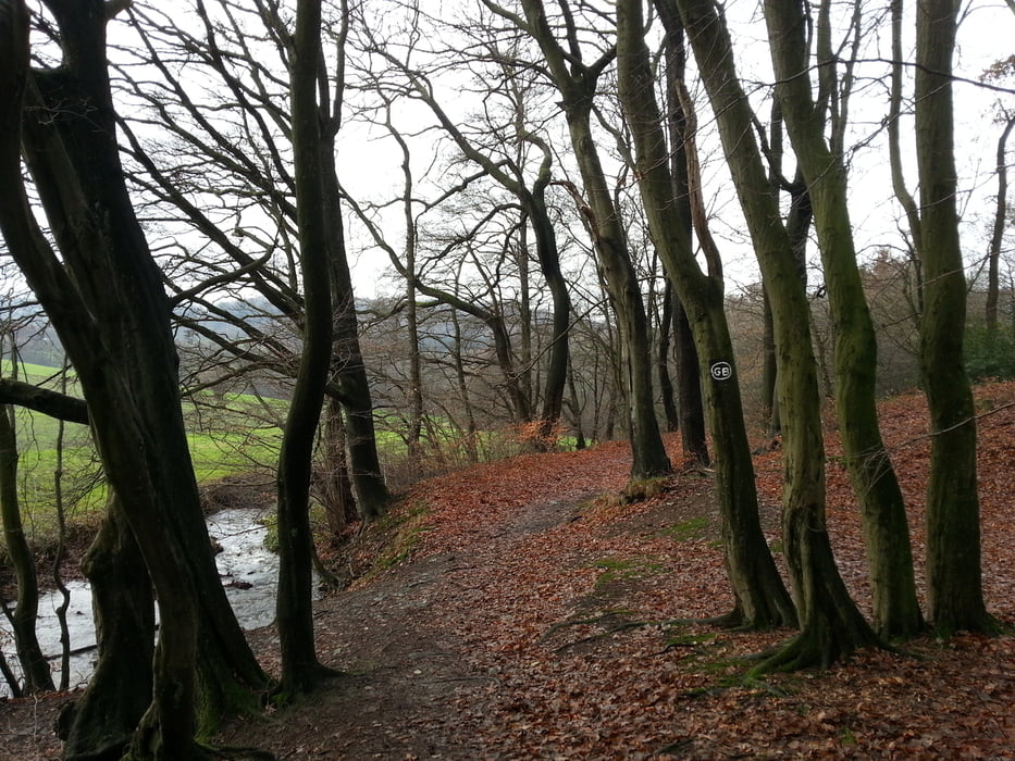
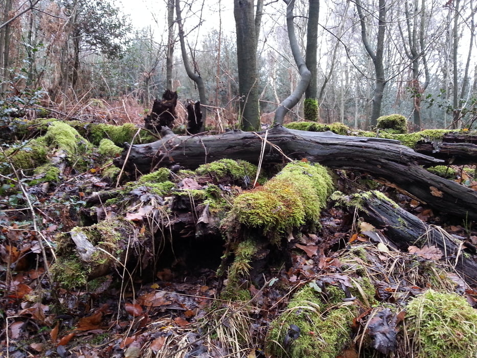
Sonst sind das schöne Landschaften, die das typische Ruhrgebiet ausmachen. Alte, mitten im Wald stehende Häuschen und alte Gehöfte abwechselnd mit Feldern, Misch- und Nadelwald.
Man sollte auf stabiles Schuhwerk achten, da die Wege teilweise recht matschig sind.
Tour gallery
Tour map and elevation profile
Minimum height 154 m
Maximum height 307 m
More about the tour author

|
TobyDean |
Comments

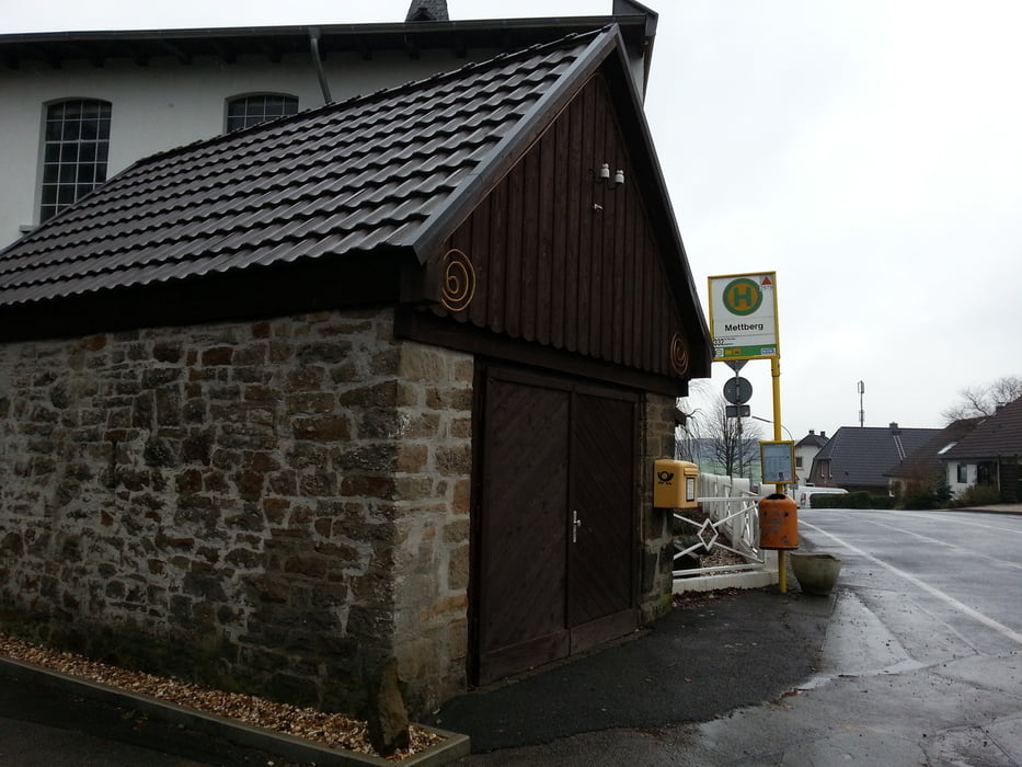
Parkmöglichkeiten befinden sich beim Hotel-Restaurant "Auf dem Brink", von wo aus die Tour auch startet.
GPS tracks
Trackpoints-
GPX / Garmin Map Source (gpx) download
-
TCX / Garmin Training Center® (tcx) download
-
CRS / Garmin Training Center® (crs) download
-
Google Earth (kml) download
-
G7ToWin (g7t) download
-
TTQV (trk) download
-
Overlay (ovl) download
-
Fugawi (txt) download
-
Kompass (DAV) Track (tk) download
-
Track data sheet (pdf) download
-
Original file of the author (gpx) download
More about the tour author
|
|
TobyDean |
Add to my favorites
Remove from my favorites
Edit tags
Open track
My score
Rate