


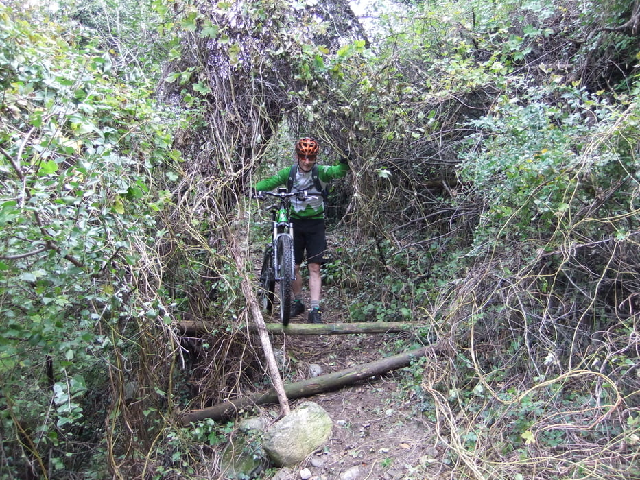
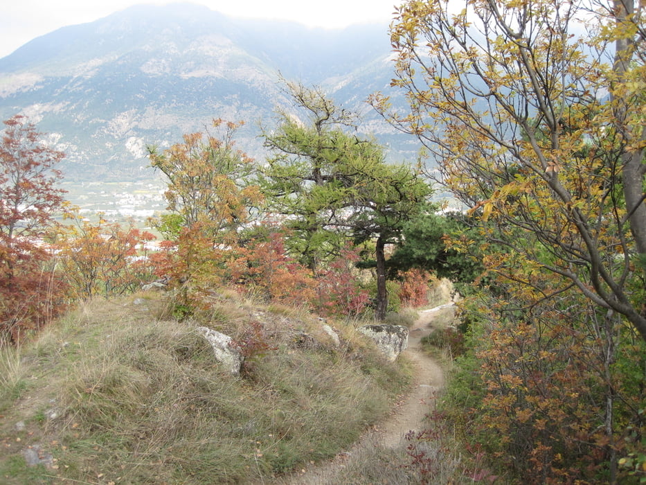
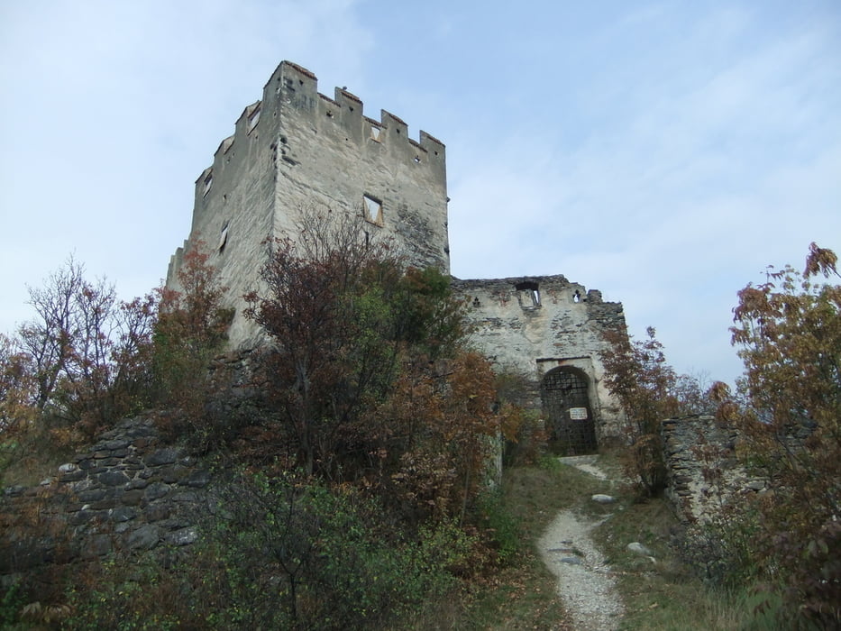
Von Schlanders aus geht’s durch die Apfelgärten, ein Stück auf der Via Claudia und in den Parco Nazionale Dello Stelvio bis zum Wetterkreuz, ab hier beginnen die Spitzkehren die kurz vor Morter enden. Kurz auf der Straße bis zum Holzablageplatz hier links abbiegen den Weg hoch vorbei an der Burganlage Obermontani den Trail weiter zur Ruine Untermontani und durch die Apfelgärten nach Goldrain.
Zurück an der Etsch entlang bis Schlanders
Further information at
http://www.hotel-goldenerose.it/Tour gallery

Tour map and elevation profile
Minimum height 671 m
Maximum height 867 m
More about the tour author

|
bergkine |
Comments

Schlanders ist über den Reschenpaß erreichbar
GPS tracks
Trackpoints-
GPX / Garmin Map Source (gpx) download
-
TCX / Garmin Training Center® (tcx) download
-
CRS / Garmin Training Center® (crs) download
-
Google Earth (kml) download
-
G7ToWin (g7t) download
-
TTQV (trk) download
-
Overlay (ovl) download
-
Fugawi (txt) download
-
Kompass (DAV) Track (tk) download
-
Track data sheet (pdf) download
-
Original file of the author (gpx) download
More about the tour author
|
|
bergkine |
Add to my favorites
Remove from my favorites
Edit tags
Open track
My score
Rate