

Aufstieg: 02:25min
Abfahrt: 47min
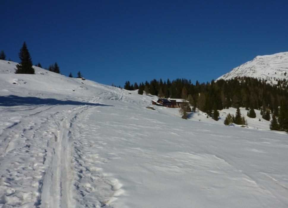
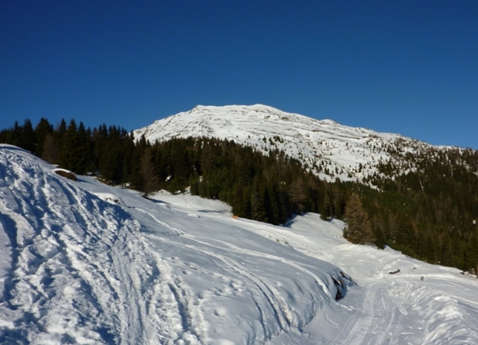
Die Tour startet kurz nach der Kapelle St. Benedikt. Zuerst maschiert man westwerts durch ein durchwegs bewaldetes Gebiet, immer wieder eine Forststraße querend, hoch zur Winklerner Hütte. Von dort kann man das Tourenziel schon sehr gut sehen. Anschließend nordwärts zunächst über einen flachen Rücken, dann über den mittelsteilen Gipfelhang bis zum Gipfel Straßkopf.
Tour gallery


Tour map and elevation profile
Minimum height 1286 m
Maximum height 2320 m
More about the tour author
|
|
harald07071 |
Comments

Von Winklern zum Iselsberg (Richtung Lienz). Kurz vor der Passhöhe rechts (nördlich) abzweigen und der Beschilderung zur "Winklerner Alm" folgen.
GPS tracks
Trackpoints-
GPX / Garmin Map Source (gpx) download
-
TCX / Garmin Training Center® (tcx) download
-
CRS / Garmin Training Center® (crs) download
-
Google Earth (kml) download
-
G7ToWin (g7t) download
-
TTQV (trk) download
-
Overlay (ovl) download
-
Fugawi (txt) download
-
Kompass (DAV) Track (tk) download
-
Track data sheet (pdf) download
-
Original file of the author (gpx) download
More about the tour author
|
|
harald07071 |
Add to my favorites
Remove from my favorites
Edit tags
Open track
My score
Rate