


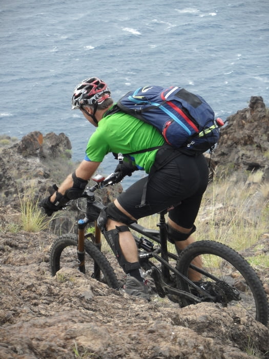
schöne Endurotour an der Westküste zur Piratenbucht unterhalb Tijarafe
der Track startet an der Piratenbucht mit einer sehr steilen Auffahrt auf Nebenstraße nach Tijarafe, dort Einkehrmöglichkeit. Weiter auf Hauptstrasse nach Tinizara. Beginn der Tour an der Bar dort. Ca. 1Std. enduromäßig dem Hang entlang, mit einigen strengen, aber durchaus fahrbaren Aufstiegen. Zuletzt dann auf schönem S2Trail - teilweise verblockt und kleine S3 Stellen - zur Piratenbucht hinunter. An den Serpetinen teilweise Absturzgefahr, also lieber mal zur Sicherheit schieben.
Ich empfehle den Aufstieg von der Piratenbucht nach Tijarafe mit dem Auto zu machen wegen der extremen Steigung (oft > 15 - 25%). Man kann alternativ auch Touristen um Mitfahrt nach Tijarafe bitten und dann die Kollegen mit dem eigenen Auto wieder abholen. In diesem Fall die Tour in Tijarafe starten.
Tour gallery

Tour map and elevation profile
Minimum height 52 m
Maximum height 901 m
More about the tour author
|
|
skyhopper |
Comments

parken an der Piratenbucht oder Tijarafe
GPS tracks
Trackpoints-
GPX / Garmin Map Source (gpx) download
-
TCX / Garmin Training Center® (tcx) download
-
CRS / Garmin Training Center® (crs) download
-
Google Earth (kml) download
-
G7ToWin (g7t) download
-
TTQV (trk) download
-
Overlay (ovl) download
-
Fugawi (txt) download
-
Kompass (DAV) Track (tk) download
-
Track data sheet (pdf) download
-
Original file of the author (gpx) download
More about the tour author
|
|
skyhopper |
Add to my favorites
Remove from my favorites
Edit tags
Open track
My score
Rate