


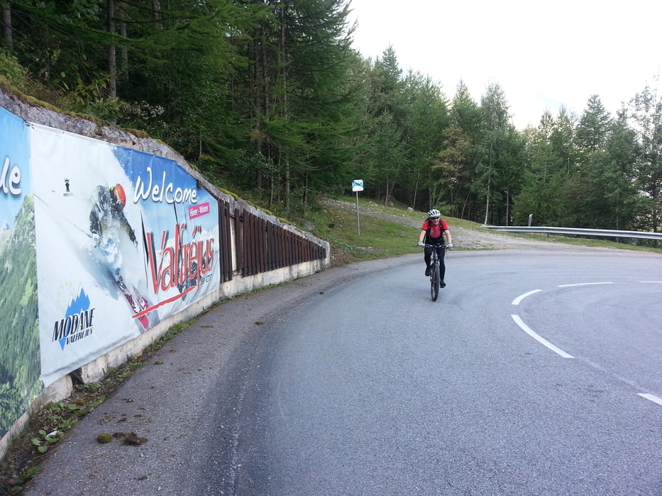
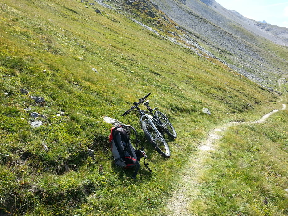
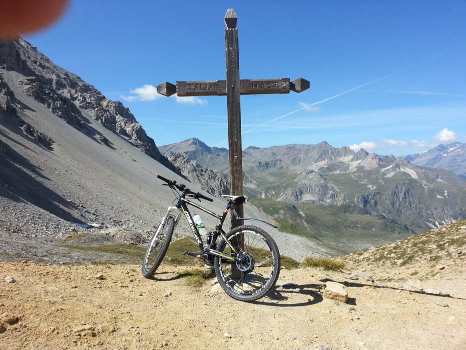
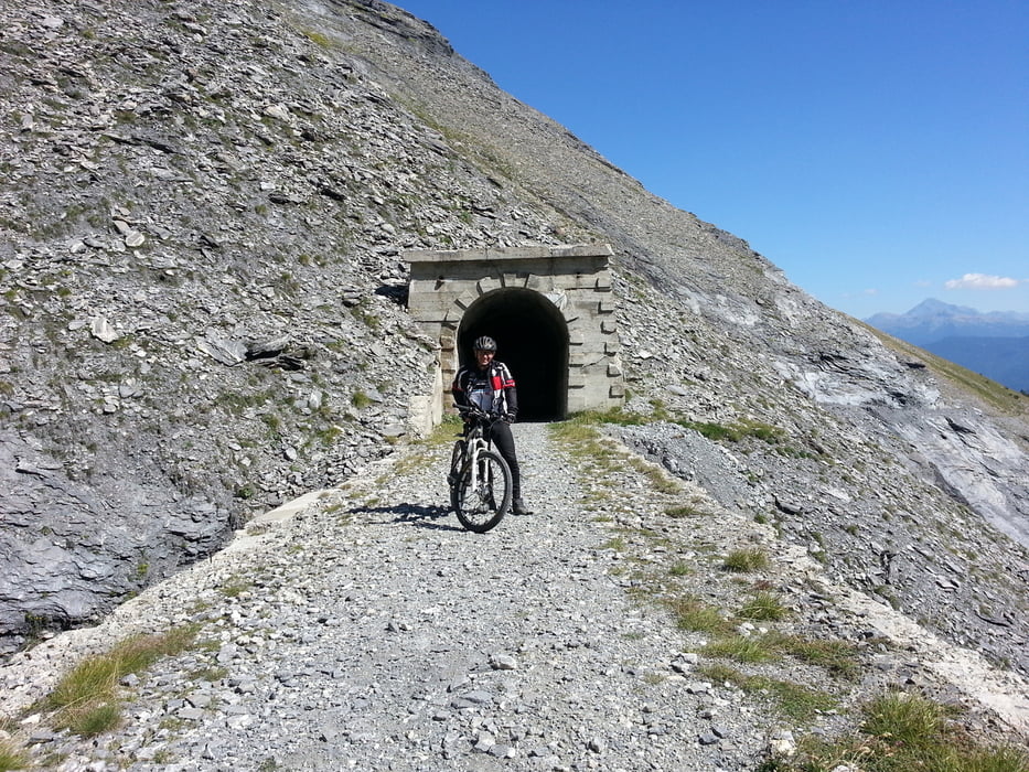
Anreise am Tag davor mit Übernachtung Hotel du Soleil Savoie. Von Aussois 1500m mit Blick auf Berge und Bunker auf der Teerstraße abwärts nach Modane 1050m. Ab Modane geht es immer aufwärts zuerst auf Teer bis ins Skigebiet Le Charmaix 1600m. Von dort auf einer immer gröber werdender Piste bis Le Lavoir 1930m. Danach mit gelegentlichen Schiebstücken bis 2300m. An dieser Kreuzung scharf links weg schiebe ich 90min zum Colle Rho / Col de la Roue 2544m. Vom Pass gibt es dann eine geniale Abfahrt auf grober Schotterpiste nach Bardonecchia 1310m. Übernachtung im Hotel des Geneys Splendid****.
Further information at
http://www.aussois.comTour gallery
Tour map and elevation profile
Minimum height 1072 m
Maximum height 2552 m
More about the tour author
|
|
Sport2008 |
Comments

- Autobahn A81
- Schaffhausen
- A4 Schweiz
- A1 Schweiz bis Genf
- A41 Frankreich
- A43 Frankreich bis Modane
- Aussois
GPS tracks
Trackpoints-
GPX / Garmin Map Source (gpx) download
-
TCX / Garmin Training Center® (tcx) download
-
CRS / Garmin Training Center® (crs) download
-
Google Earth (kml) download
-
G7ToWin (g7t) download
-
TTQV (trk) download
-
Overlay (ovl) download
-
Fugawi (txt) download
-
Kompass (DAV) Track (tk) download
-
Track data sheet (pdf) download
-
Original file of the author (gpx) download
More about the tour author
|
|
Sport2008 |
Add to my favorites
Remove from my favorites
Edit tags
Open track
My score
Rate