Login

Forgot your login?

Cookies have to be accepted!
Your browser's cookie functionality is disabled. Please enable this functionality.

Not a member yet?

Register now
Login

Available for registred users only

Log in to use this feature.

Forgot your login?

Cookies have to be accepted!
Your browser's cookie functionality is disabled. Please enable this functionality.

Not a member yet?

Register now
Filter
Categories
Advanced filters
  • Distance (km)
  • Height
Save filters Reset filter

TrackRank

QRCode

Technical data

Distance31,2 km Height2390 m Way down2389 m Duration05:45 h:m Date07.01.2014
Scores Author Landscape Fun factor Fitness Technique

Statistics

1218 Views Scores 14 Downloads Average
Rate
  • Track data sheet
  • Directions
  • Downloads

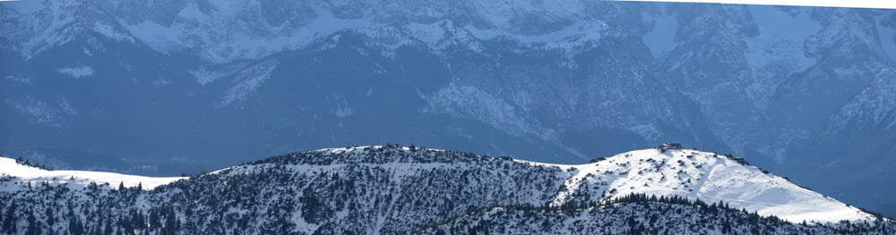
Winter-Trailrun über Wank zum hohen Fricken

Der Gratweg zum Sattel (Richtung Weilheimer Hütte) verschwand nach halben Abstieg im tiefen Neuschnee, deshalb Umkehr
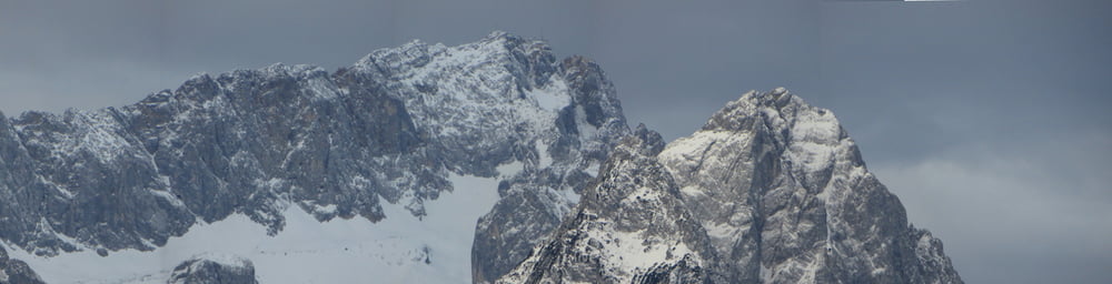
 

Tour gallery

Tour map and elevation profile

  • Open Street Map
  • Google
Minimum height 710 m Maximum height 1941 m Detailed view

More about the tour author

Mathis_muc
Member since 2008

Send private message

Comments

GPS tracks

Trackpoints
  • GPX / Garmin Map Source (gpx) download
  • TCX / Garmin Training Center® (tcx) download
  • CRS / Garmin Training Center® (crs) download
  • Google Earth (kml) download
  • G7ToWin (g7t) download
  • TTQV (trk) download
  • Overlay (ovl) download
  • Fugawi (txt) download
  • Kompass (DAV) Track (tk) download
  • Track data sheet (pdf) download
  • Original file of the author (gpx) download

More about the tour author

Mathis_muc
Member since 2008

Send private message
Share track
Add to my favorites
Remove from my favorites
Edit tags
My score
Rate
Track: Wank mit hoher Fricken und Esterbergalm
Type: Mountain hiking
Distance: 31,2 km
Evaluated on:
Duration:
Day(s)
Hour(s)
Minute(s)
Score: Landscape Fun factor Fitness Technique