Login

Forgot your login?

Cookies have to be accepted!
Your browser's cookie functionality is disabled. Please enable this functionality.

Not a member yet?

Register now
Login

Available for registred users only

Log in to use this feature.

Forgot your login?

Cookies have to be accepted!
Your browser's cookie functionality is disabled. Please enable this functionality.

Not a member yet?

Register now
Filter
Categories
Advanced filters
  • Distance (km)
  • Height
Save filters Reset filter

TrackRank

QRCode

Technical data

Distance39,4 km Height363 m Way down374 m Duration02:05 h:m Date07.01.2014
Scores Author Landscape Fun factor Fitness Technique

Statistics

555 Views Scores 98 Downloads Average
Rate
  • Track data sheet
  • Directions
  • Downloads

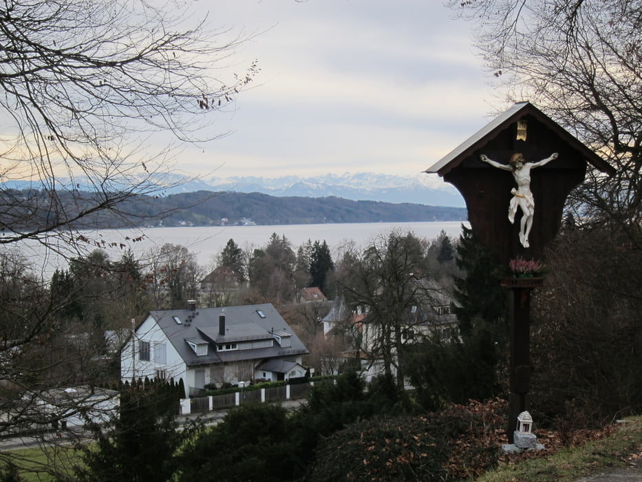
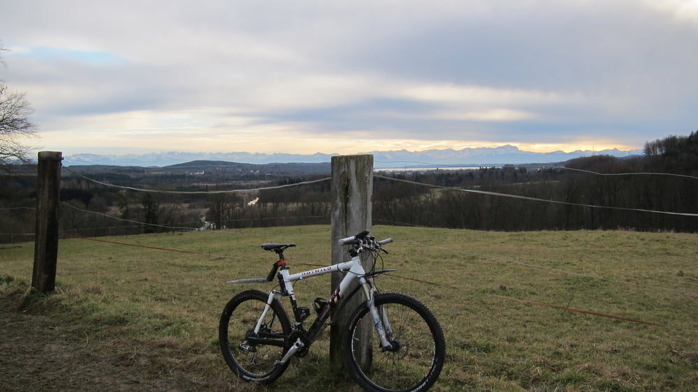
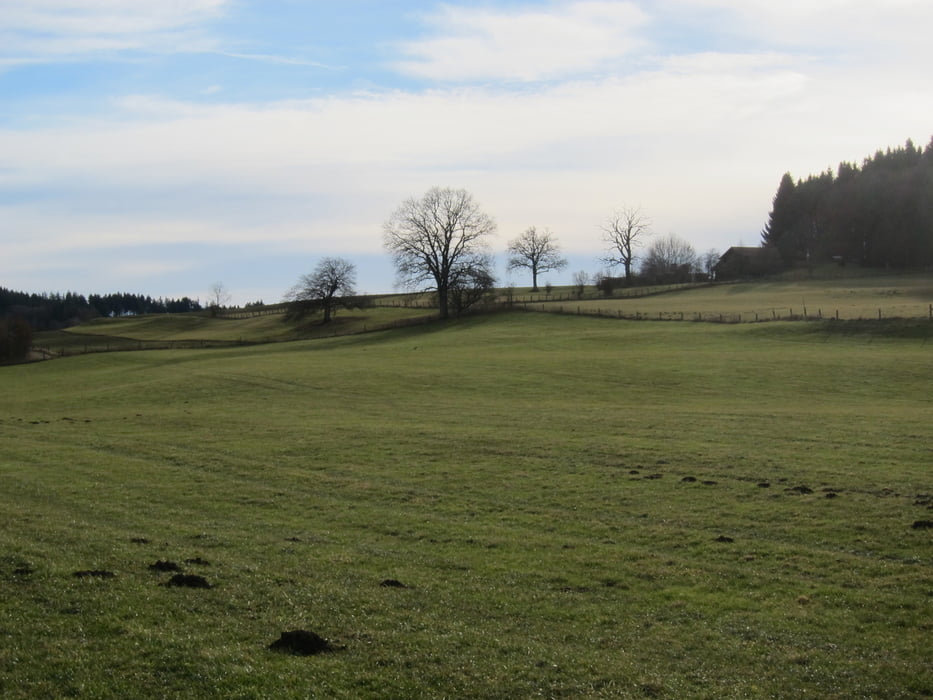
Schöne aussichtsreiche Biketour auf verschlungenen aber guten Wegen bis zum Starnberger See.
Bei mir wars meine erste Tour des Jahres 2014, dazu mit neuem Navi (Oregon 600).

Viel Spaß beim Nachfahren


Tour gallery

Tour map and elevation profile

  • Open Street Map
  • Google
Minimum height 551 m Maximum height 682 m Detailed view

More about the tour author

leichergps
Member since 2008

Send private message

Comments

GPS tracks

Trackpoints
  • GPX / Garmin Map Source (gpx) download
  • TCX / Garmin Training Center® (tcx) download
  • CRS / Garmin Training Center® (crs) download
  • Google Earth (kml) download
  • G7ToWin (g7t) download
  • TTQV (trk) download
  • Overlay (ovl) download
  • Fugawi (txt) download
  • Kompass (DAV) Track (tk) download
  • Track data sheet (pdf) download
  • Original file of the author (gpx) download

More about the tour author

leichergps
Member since 2008

Send private message
Share track
Add to my favorites
Remove from my favorites
Edit tags
My score
Rate
Track: Vom Würmtal zur Nordwestseite des Starnberger Sees
Type: Mountain bike
Distance: 39,4 km
Evaluated on:
Duration:
Day(s)
Hour(s)
Minute(s)
Score: Landscape Fun factor Fitness Technique