Login

Forgot your login?

Cookies have to be accepted!
Your browser's cookie functionality is disabled. Please enable this functionality.

Not a member yet?

Register now
Login

Available for registred users only

Log in to use this feature.

Forgot your login?

Cookies have to be accepted!
Your browser's cookie functionality is disabled. Please enable this functionality.

Not a member yet?

Register now
Filter
Categories
Advanced filters
  • Distance (km)
  • Height
Save filters Reset filter

TrackRank

QRCode

Technical data

Distance8,8 km Height431 m Way down526 m Duration00:00 h:m Date09.01.2014
Scores Author Landscape Fun factor Fitness Technique

Statistics

786 Views Scores 38 Downloads Average
Rate
  • Track data sheet
  • Directions
  • Downloads

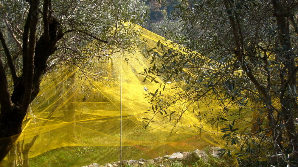
Tour sull'appennino ligure con vista sul mare, golfo di Recco, monte di Portofino, lungo stretti sentieri. Adatto alle fredde girnate di inverno, mitigato dal riflesso sul mare.


Tour gallery

Tour map and elevation profile

  • Open Street Map
  • Google
Minimum height 112 m Maximum height 545 m Detailed view

More about the tour author

Trumpy
Member since 2014

Send private message

Comments

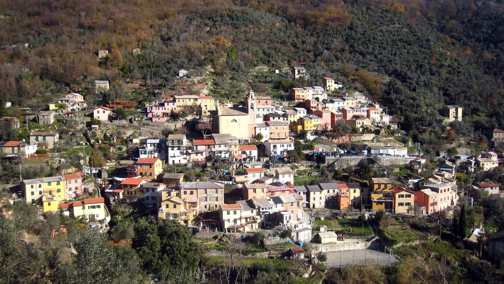
Ottimo accesso da Genova con l'Autobus della Apt scendendo alla fermata di pontetto ed imboccando la Creuza che sale a Pieve Alta, poi proseguire per Teriasca, Monte Santa Croce, San Bernardo e infine Bogliasco dove è possibile il rientro con Autobus o Treno.


GPS tracks

Trackpoints
  • GPX / Garmin Map Source (gpx) download
  • TCX / Garmin Training Center® (tcx) download
  • CRS / Garmin Training Center® (crs) download
  • Google Earth (kml) download
  • G7ToWin (g7t) download
  • TTQV (trk) download
  • Overlay (ovl) download
  • Fugawi (txt) download
  • Kompass (DAV) Track (tk) download
  • Track data sheet (pdf) download
  • Original file of the author (gpx) download

More about the tour author

Trumpy
Member since 2014

Send private message
Share track
Add to my favorites
Remove from my favorites
Edit tags
My score
Rate
Track: Liguria - appennino - Bogliasco Pieve Teriasca Santa Croce
Type: Hiking
Distance: 8,8 km
Evaluated on:
Duration:
Day(s)
Hour(s)
Minute(s)
Score: Landscape Fun factor Fitness Technique