


9.12.2006
Tour gallery
Tour map and elevation profile
Minimum height 129 m
Maximum height 297 m
More about the tour author
|
|
tmax |
Comments

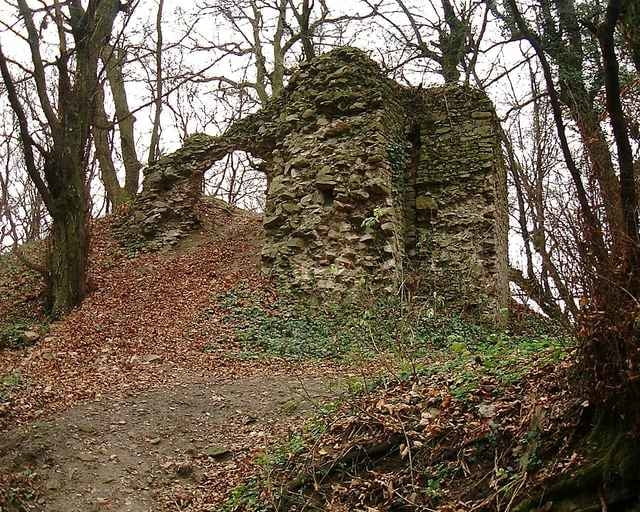
BA**/*** - Vrakuňa**/*** - Letisko M.R.Š.** - Ivanka pri Dunaji** - Bernolákovo*** - Chorvátsky Grob*** - Čierna Voda-Pálfyho majer*** - Šúr* - Svätý Jur* - Biely Kameň* - Svätý Jur* - vinosady* - BA-Rača***
*turistická značka alebo lesný chodník mimo cestu
**cyklotrasa
***cesta s premávkou, asfaltka
*turistická značka alebo lesný chodník mimo cestu
**cyklotrasa
***cesta s premávkou, asfaltka
GPS tracks
Trackpoints-
GPX / Garmin Map Source (gpx) download
-
TCX / Garmin Training Center® (tcx) download
-
CRS / Garmin Training Center® (crs) download
-
Google Earth (kml) download
-
G7ToWin (g7t) download
-
TTQV (trk) download
-
Overlay (ovl) download
-
Fugawi (txt) download
-
Kompass (DAV) Track (tk) download
-
Track data sheet (pdf) download
-
Original file of the author (g7t) download
More about the tour author
|
|
tmax |
Add to my favorites
Remove from my favorites
Edit tags
Open track
My score
Rate