


10.4.2007
Interests:
- castle in Wolfsthal
- caste ruine and historical town in Hainburg an der Donau
- hill Braunsberg in Hainburg an der Donau
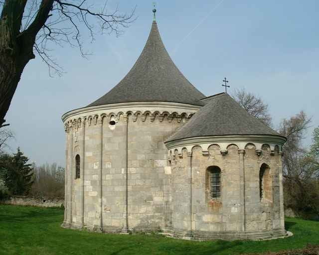
- gothic church, Roman buidings and spa in Bad-Deutsch Altenburg
- Roman buildings (amphiteatres, ruins, tower Heidentor), castle, church in Petronell-Carnuntum
- Joseph Haydn birth-house and castle in Rohrau
- agricultural place with some old houses Neuhof
- church and castle in Potzneusiedl
- church in Deutsch-Haslau
- mill in Pama (Pamamuhle)
- castle, burg ruine and Jewish-cementary (next to burg ruine) in Kittsee
Interests:
- castle in Wolfsthal
- caste ruine and historical town in Hainburg an der Donau
- hill Braunsberg in Hainburg an der Donau
- gothic church, Roman buidings and spa in Bad-Deutsch Altenburg
- Roman buildings (amphiteatres, ruins, tower Heidentor), castle, church in Petronell-Carnuntum
- Joseph Haydn birth-house and castle in Rohrau
- agricultural place with some old houses Neuhof
- church and castle in Potzneusiedl
- church in Deutsch-Haslau
- mill in Pama (Pamamuhle)
- castle, burg ruine and Jewish-cementary (next to burg ruine) in Kittsee
Tour gallery
Tour map and elevation profile
Minimum height 130 m
Maximum height 196 m
More about the tour author
|
|
tmax |
Comments

From Bratislava on cyclotrail through Wolfsthal, Hainburg, Bad-Deutsch Altenburg to Petronell-Carnuntum. Then to ruine Heidentor, on field roads to Schaffelhof. On road to Rohrau, accross Leitha and then on field road through Neuhof to Potzneusiedl and Deutsch-Haslau. Then on field road to Pama, on road to Kittsee and on cyclotrail through Berg back to the Bratislava. 72% tarmac, 28% field roads
GPS tracks
Trackpoints-
GPX / Garmin Map Source (gpx) download
-
TCX / Garmin Training Center® (tcx) download
-
CRS / Garmin Training Center® (crs) download
-
Google Earth (kml) download
-
G7ToWin (g7t) download
-
TTQV (trk) download
-
Overlay (ovl) download
-
Fugawi (txt) download
-
Kompass (DAV) Track (tk) download
-
Track data sheet (pdf) download
-
Original file of the author (g7t) download
More about the tour author
|
|
tmax |
Add to my favorites
Remove from my favorites
Edit tags
Open track
My score
Rate