


17.3.2007
Interests:
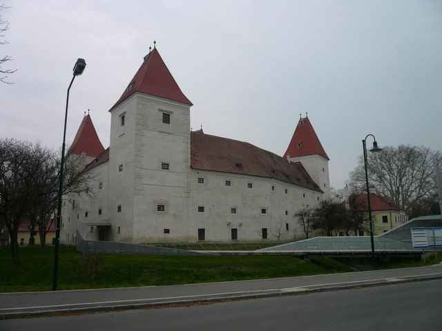
- castle in Wolfsthal
- castle ruine Schlosshof, historical center, hill Braunsberg in Hainburg an der Donau
- church in Bad-Deutsch Altenburg
- castle Eckartsau
- Danube branches
- castle, church and Danube in Orth an der Donau
Interests:
- castle in Wolfsthal
- castle ruine Schlosshof, historical center, hill Braunsberg in Hainburg an der Donau
- church in Bad-Deutsch Altenburg
- castle Eckartsau
- Danube branches
- castle, church and Danube in Orth an der Donau
Tour gallery
Tour map and elevation profile
Minimum height 130 m
Maximum height 183 m
More about the tour author
|
|
tmax |
Comments

From Bratislava through Wolfsthal to Hainburg, accross Danube (Donaubrucke) on cyclotrail (Donauradweg). On that trail through Stopfenreuth to Eckartsau (castle), than back on the cyclotrail and to Orth an der Donau. From town to Danube (Gasthof Uferhaus), back on trail and the same way back to Bratislava.
GPS tracks
Trackpoints-
GPX / Garmin Map Source (gpx) download
-
TCX / Garmin Training Center® (tcx) download
-
CRS / Garmin Training Center® (crs) download
-
Google Earth (kml) download
-
G7ToWin (g7t) download
-
TTQV (trk) download
-
Overlay (ovl) download
-
Fugawi (txt) download
-
Kompass (DAV) Track (tk) download
-
Track data sheet (pdf) download
More about the tour author
|
|
tmax |
Add to my favorites
Remove from my favorites
Edit tags
Open track
My score
Rate