


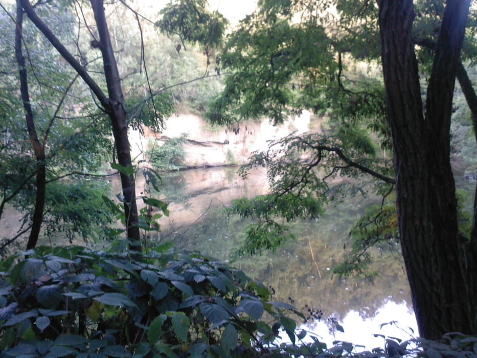
Schöne Tour durch das nördliche Dortmund bis an Lünen und rund ums Lanstroper Ei.
Tendenziell geht es eher flach bis leicht bergab. Landschaftlich bei guter Sicht sehr schön. Mit einem tollen Aussichtspunkt versehen. Fahrtechnisch auch mit dem Trekkingrad zu fahren. Der Fahrbahnbelag ist meist sehr gut. Er wechselt von Asphalt bis hin zum Feldweg. Bis auf ein paar Waldwege ist alles aalglatt. Viel Spass.
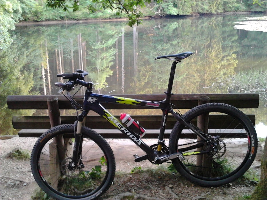
Tour gallery
Tour map and elevation profile
Minimum height 49 m
Maximum height 129 m
More about the tour author
|
|
rotwilder |
Comments

Start am Hauptfriedhof , Parkplatz gegenüber am Autohaus Weber. In Dortmund.
GPS tracks
Trackpoints-
GPX / Garmin Map Source (gpx) download
-
TCX / Garmin Training Center® (tcx) download
-
CRS / Garmin Training Center® (crs) download
-
Google Earth (kml) download
-
G7ToWin (g7t) download
-
TTQV (trk) download
-
Overlay (ovl) download
-
Fugawi (txt) download
-
Kompass (DAV) Track (tk) download
-
Track data sheet (pdf) download
-
Original file of the author (gpx) download
More about the tour author
|
|
rotwilder |
Add to my favorites
Remove from my favorites
Edit tags
Open track
My score
Rate