


Vom Truppenübungsplatz zum Naherholungsgebiet.
Früher trainierte hier das belgische Militär, heute findet man in der Trupbacher Heide Ruhe, Erholung und wunderschöne Natur
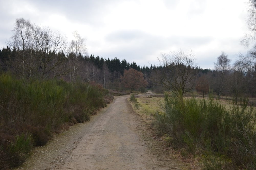
Auf der Grenze zwischen Siegen und Freudenberg liegt die Trupbacher Heide. Vor nicht einmal 20 Jahren donnerten hier noch Geschütze, heute könnte sich Naturfreunden in der Trupbacher Heide kaum ein friedlicheres Bild bieten: Das fliederfarbene Heidekraut strahlt in der Sonne, Schafe trotten durchs karge Gras.
Tour gallery

Tour map and elevation profile
Minimum height 297 m
Maximum height 416 m
More about the tour author
|
|
ajdda |
Comments

Siegen Trupbach
Parkplatz Am Wurmberg
hinter der Kirche
GPS tracks
Trackpoints-
GPX / Garmin Map Source (gpx) download
-
TCX / Garmin Training Center® (tcx) download
-
CRS / Garmin Training Center® (crs) download
-
Google Earth (kml) download
-
G7ToWin (g7t) download
-
TTQV (trk) download
-
Overlay (ovl) download
-
Fugawi (txt) download
-
Kompass (DAV) Track (tk) download
-
Track data sheet (pdf) download
-
Original file of the author (gpx) download
More about the tour author
|
|
ajdda |
Add to my favorites
Remove from my favorites
Edit tags
Open track
My score
Rate