Login

Forgot your login?

Cookies have to be accepted!
Your browser's cookie functionality is disabled. Please enable this functionality.

Not a member yet?

Register now
Login

Available for registred users only

Log in to use this feature.

Forgot your login?

Cookies have to be accepted!
Your browser's cookie functionality is disabled. Please enable this functionality.

Not a member yet?

Register now
Filter
Categories
Advanced filters
  • Distance (km)
  • Height
Save filters Reset filter

TrackRank

QRCode

Technical data

Distance6,8 km Height811 m Way down m Duration01:30 h:m Date30.12.2007
Scores Author Landscape Fun factor Fitness Technique

Statistics

681 Views Scores 96 Downloads Average
Rate
  • Track data sheet
  • Directions
  • Downloads
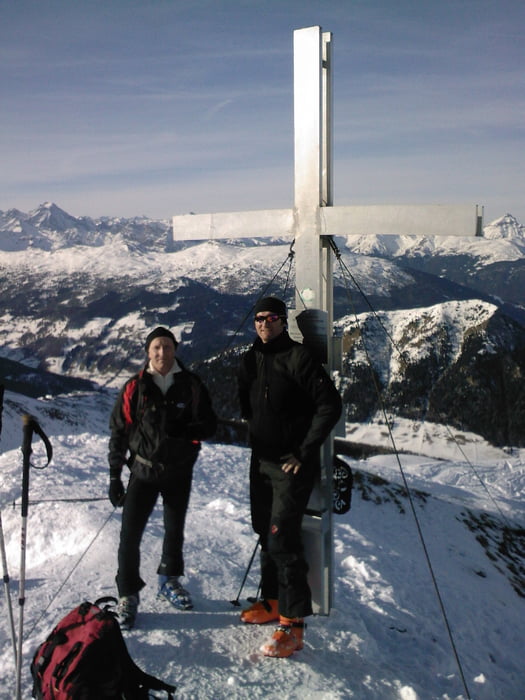
Schöne vielbegangene leichte Tour - kaum Lawinengefahr - wenns nicht frisch geschneit hat dann ist die Abfahrt wie ne Piste

Tour gallery

Tour map and elevation profile

  • Open Street Map
  • Google
Minimum height 1585 m Maximum height 2395 m Detailed view

More about the tour author

tomi
Member since 2005

Send private message

Comments

Auf der Autobahn von Innsbruck kommend bei Steinach ausfahren, weiter bis ST. Jodok da ins Valsertal nach der Telefobzelle rechts nach Padaun zum Stechholzer dort parken.

GPS tracks

Trackpoints
  • GPX / Garmin Map Source (gpx) download
  • TCX / Garmin Training Center® (tcx) download
  • CRS / Garmin Training Center® (crs) download
  • Google Earth (kml) download
  • G7ToWin (g7t) download
  • TTQV (trk) download
  • Overlay (ovl) download
  • Fugawi (txt) download
  • Kompass (DAV) Track (tk) download
  • Track data sheet (pdf) download
  • Original file of the author (gpx) download

More about the tour author

tomi
Member since 2005

Send private message
Share track
Add to my favorites
Remove from my favorites
Edit tags
My score
Rate
Track: Vennspitze
Type: Ski touring
Distance: 6,8 km
Evaluated on:
Duration:
Day(s)
Hour(s)
Minute(s)
Score: Landscape Fun factor Fitness Technique