


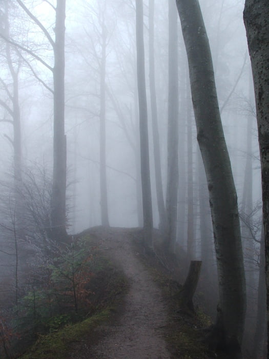
Wegverlauf: Felsenegg - Buechenegg - Albispasshöhe - Hochwacht - Ruine Schnabelburg - Bürglen - Albishorn - Sihlbrugg Station - Sihlwald
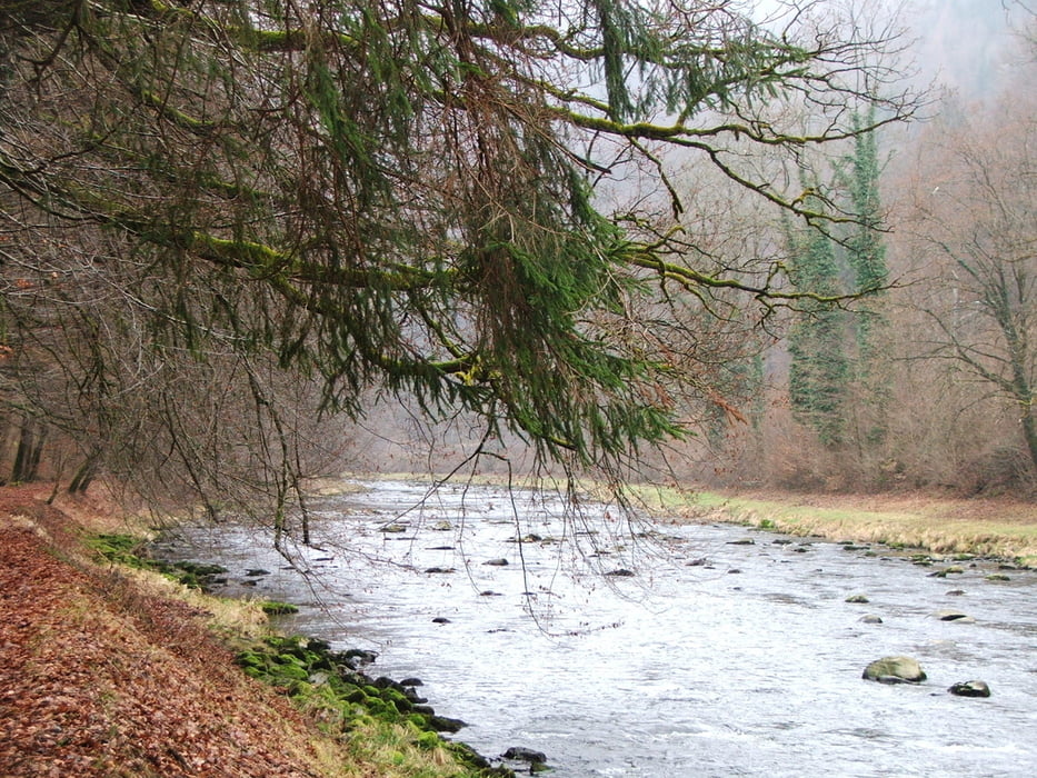
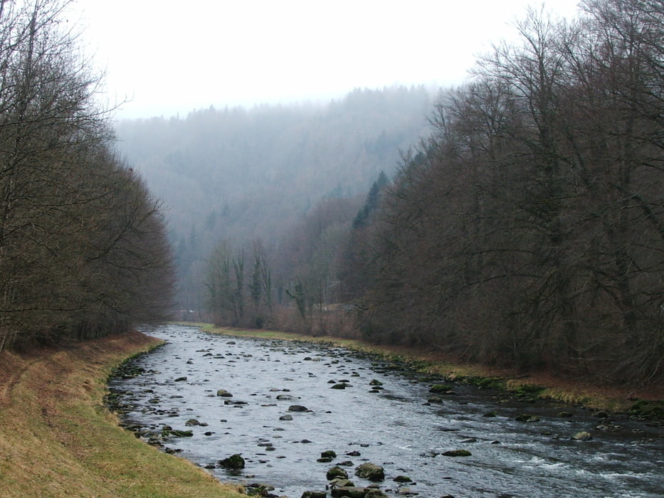
Auf dem Gratweg der Albiskette bis ins Sihltal, dann am Fluss entlang bis Sihlwald
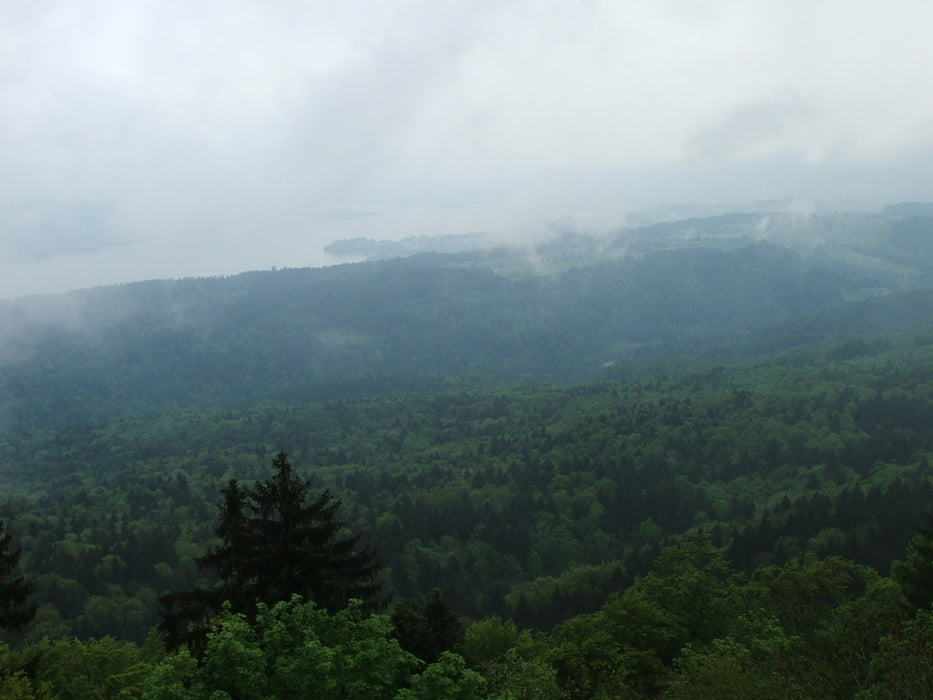
Von oben schöne Ausblicke zu beiden Seiten vom Hochwachtturm und mehreren Aussichtspunkten
Tour gallery
Tour map and elevation profile
Minimum height 483 m
Maximum height 910 m
More about the tour author
|
|
lothardomnik |
Comments

Hinfahrt: mit S 4 von Zürich HB bis Adliswil, 500 m Fußweg bis zur Luftseilbahn Adliswil - Felsenegg (ausgeschildert), mit der Seilbahn bis Felsenegg
Rückfahrt: mit S 4 von Sihlwald nach Zürich
GPS tracks
Trackpoints-
GPX / Garmin Map Source (gpx) download
-
TCX / Garmin Training Center® (tcx) download
-
CRS / Garmin Training Center® (crs) download
-
Google Earth (kml) download
-
G7ToWin (g7t) download
-
TTQV (trk) download
-
Overlay (ovl) download
-
Fugawi (txt) download
-
Kompass (DAV) Track (tk) download
-
Track data sheet (pdf) download
-
Original file of the author (gpx) download
More about the tour author
|
|
lothardomnik |
Add to my favorites
Remove from my favorites
Edit tags
Open track
My score
Rate