


Wegverlauf: Adliswil - Felsenegg - Uetliberg - Hohenstein - Triemli - Albisriederplatz - Bahnhof Hardbrücke
Steiler Aufstieg von Adliswil nach Felsenegg (kann auch mit Seilbahn überwunden werden, siehe Tour 127246), dann mit schönen Ausblicken auf dem Gratweg der Albiskette bis Hohenstein, Abstieg nach Triemli, erst durch Grünanlagen, dann an verkehrsreichen Straßen entlang bis zum Bahnhof Hardbrücke
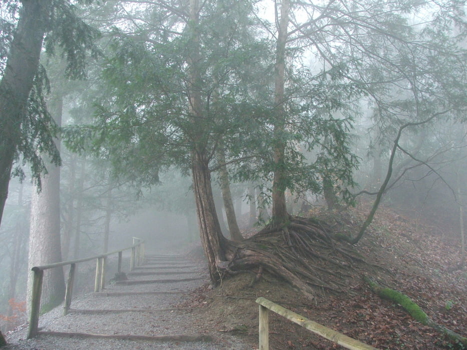
Tour gallery


Tour map and elevation profile
Minimum height 406 m
Maximum height 862 m
More about the tour author
|
|
lothardomnik |
Comments

Hinfahrt: mit S 4 von Zürich HB bis Adliswil
Endpunkt ist der Bf. Hardbrücke, der von mehreren S-Bahn-Linien sowie den Buslinien 33 und 72 bedient wird.
Ab Triemli kann die Tour an mehreren Punkten abgebrochen werden, da der Weg an zahlreichen Straßenbahn- und Bushaltestellen vorbeiführt.
GPS tracks
Trackpoints-
GPX / Garmin Map Source (gpx) download
-
TCX / Garmin Training Center® (tcx) download
-
CRS / Garmin Training Center® (crs) download
-
Google Earth (kml) download
-
G7ToWin (g7t) download
-
TTQV (trk) download
-
Overlay (ovl) download
-
Fugawi (txt) download
-
Kompass (DAV) Track (tk) download
-
Track data sheet (pdf) download
-
Original file of the author (gpx) download
More about the tour author
|
|
lothardomnik |
Add to my favorites
Remove from my favorites
Edit tags
Open track
My score
Rate