Login

Forgot your login?

Cookies have to be accepted!
Your browser's cookie functionality is disabled. Please enable this functionality.

Not a member yet?

Register now
Login

Available for registred users only

Log in to use this feature.

Forgot your login?

Cookies have to be accepted!
Your browser's cookie functionality is disabled. Please enable this functionality.

Not a member yet?

Register now
Filter
Categories
Advanced filters
  • Distance (km)
  • Height
Save filters Reset filter

TrackRank

QRCode

Technical data

Distance24,3 km Height531 m Way down495 m Duration01:40 h:m Date01.01.2008
Scores Author Landscape Fun factor Fitness Technique

Statistics

247 Views Scores 10 Downloads Average
Rate
  • Track data sheet
  • Directions
  • Downloads
1.1.2008
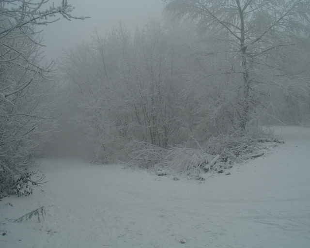
Blázni, čo na Nový rok našlapli do pedálov (snáď) pravou nohou. Najmä pri zjazdoch sa dalo vyjašiť, keď bike plával po snehu.

Tour gallery

Tour map and elevation profile

  • Open Street Map
  • Google
Minimum height 134 m Maximum height 501 m Detailed view

More about the tour author

tmax
Member since 2007

Send private message

Comments

GPS tracks

Trackpoints
  • GPX / Garmin Map Source (gpx) download
  • TCX / Garmin Training Center® (tcx) download
  • CRS / Garmin Training Center® (crs) download
  • Google Earth (kml) download
  • G7ToWin (g7t) download
  • TTQV (trk) download
  • Overlay (ovl) download
  • Fugawi (txt) download
  • Kompass (DAV) Track (tk) download
  • Track data sheet (pdf) download
  • Original file of the author (g7t) download

More about the tour author

tmax
Member since 2007

Send private message
Share track
Add to my favorites
Remove from my favorites
Edit tags
My score
Rate
Track: 20080101_Novoročný výjazd MTBikerov
Type: Mountain bike
Distance: 24,3 km
Evaluated on:
Duration:
Day(s)
Hour(s)
Minute(s)
Score: Landscape Fun factor Fitness Technique