Login

Forgot your login?

Cookies have to be accepted!
Your browser's cookie functionality is disabled. Please enable this functionality.

Not a member yet?

Register now
Login

Available for registred users only

Log in to use this feature.

Forgot your login?

Cookies have to be accepted!
Your browser's cookie functionality is disabled. Please enable this functionality.

Not a member yet?

Register now
Filter
Categories
Advanced filters
  • Distance (km)
  • Height
Save filters Reset filter

TrackRank

QRCode

Technical data

Distance9,2 km Height924 m Way down924 m Duration02:18 h:m Date02.02.2014
Scores Author Landscape Fun factor Fitness Technique

Statistics

273 Views Scores 19 Downloads Average
Rate
  • Track data sheet
  • Directions
  • Downloads

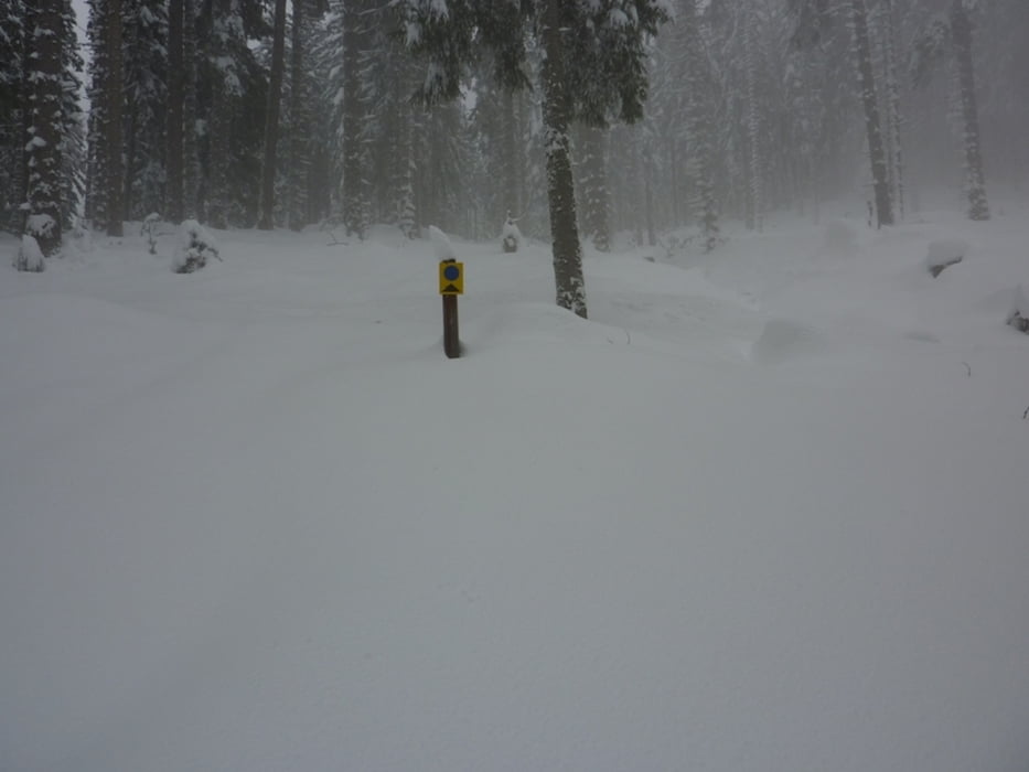
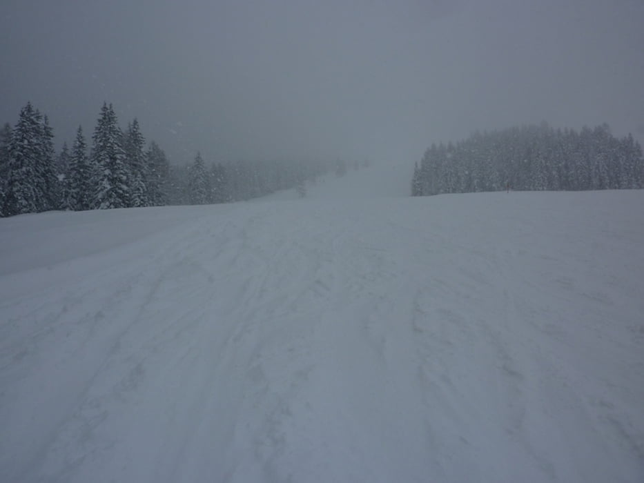
 Aufstieg 1Std. 58min.( Spuren durch den Wald 1m Neuschnee)

  Abfahrt 20min.


Tour gallery

Tour map and elevation profile

  • Open Street Map
  • Google
Minimum height 895 m Maximum height 1824 m Detailed view

More about the tour author

harald07071
Member since 2008

Send private message

Comments

A2 Abfahrt Villach Ossiacher See dann Richtung Treffen dann weiter nach Arriach zur Talstation Klösterlebahn.


GPS tracks

Trackpoints
  • GPX / Garmin Map Source (gpx) download
  • TCX / Garmin Training Center® (tcx) download
  • CRS / Garmin Training Center® (crs) download
  • Google Earth (kml) download
  • G7ToWin (g7t) download
  • TTQV (trk) download
  • Overlay (ovl) download
  • Fugawi (txt) download
  • Kompass (DAV) Track (tk) download
  • Track data sheet (pdf) download
  • Original file of the author (gpx) download

More about the tour author

harald07071
Member since 2008

Send private message
Share track
Add to my favorites
Remove from my favorites
Edit tags
My score
Rate
Track: Gerlitzen (1909m)
Type: Ski touring
Distance: 9,2 km
Evaluated on:
Duration:
Day(s)
Hour(s)
Minute(s)
Score: Landscape Fun factor Fitness Technique