Login

Forgot your login?

Cookies have to be accepted!
Your browser's cookie functionality is disabled. Please enable this functionality.

Not a member yet?

Register now
Login

Available for registred users only

Log in to use this feature.

Forgot your login?

Cookies have to be accepted!
Your browser's cookie functionality is disabled. Please enable this functionality.

Not a member yet?

Register now
Filter
Categories
Advanced filters
  • Distance (km)
  • Height
Save filters Reset filter

TrackRank

QRCode

Technical data

Distance91,7 km Height1200 m Way down1199 m Duration00:00 h:m Date09.02.2014
Scores Author User Landscape Fun factor Fitness Technique

Statistics

1158 Views 1 Score 144 Downloads 5.00 Average
Rate
  • Track data sheet
  • Directions
  • Downloads

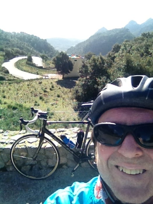
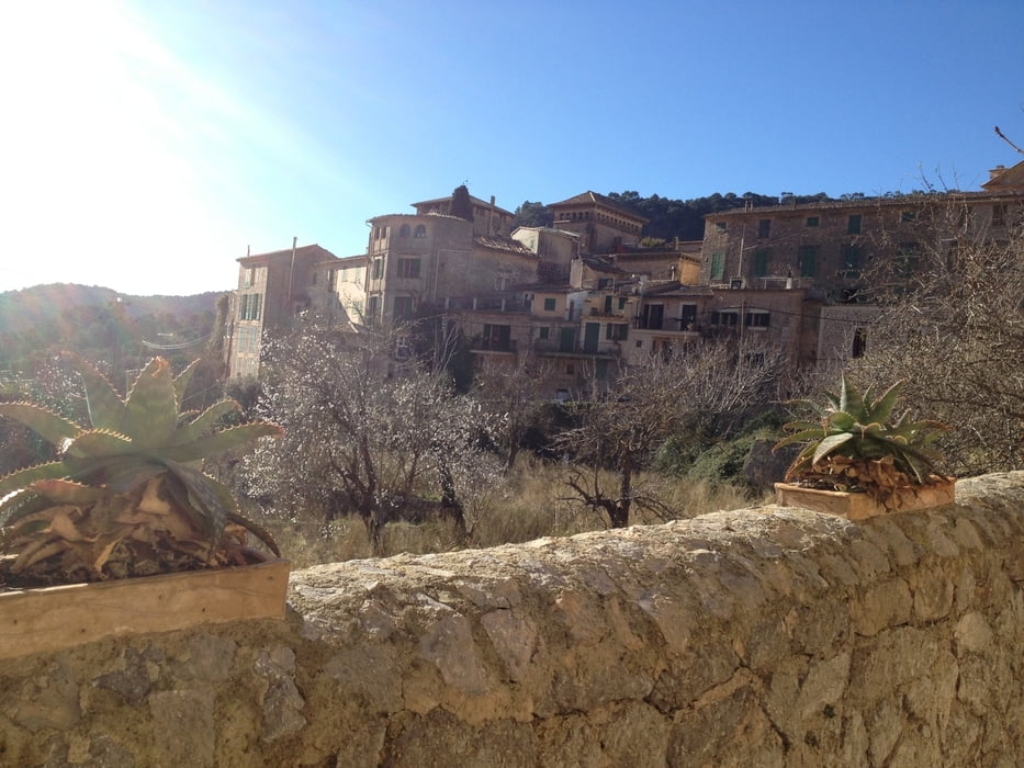
Die Tour beginnt an der Platja de Palma geht durch Palma auf der MA-11 bis zum Tunnel dort abbiegen zum Col de Sóller die Serpentinen hoch und wieder runter nach Sóller. Dann über Deiá an der Westküste entlang nach Valldemossa und von dort wieder nach Palma.

Viel Spass!


Tour gallery

Tour map and elevation profile

  • Open Street Map
  • Google
Minimum height -32 m Maximum height 500 m Detailed view

More about the tour author

berndhuber
Member since 2008

Send private message

Comments

Ab Palma


GPS tracks

Trackpoints
  • GPX / Garmin Map Source (gpx) download
  • TCX / Garmin Training Center® (tcx) download
  • CRS / Garmin Training Center® (crs) download
  • Google Earth (kml) download
  • G7ToWin (g7t) download
  • TTQV (trk) download
  • Overlay (ovl) download
  • Fugawi (txt) download
  • Kompass (DAV) Track (tk) download
  • Track data sheet (pdf) download
  • Original file of the author (gpx) download

More about the tour author

berndhuber
Member since 2008

Send private message
Share track
Add to my favorites
Remove from my favorites
Edit tags
My score
Rate
Track: Sóller Valldemossa ab Palma
Type: Road biking
Distance: 91,7 km
Evaluated on:
Duration:
Day(s)
Hour(s)
Minute(s)
Score: Landscape Fun factor Fitness Technique