Login

Forgot your login?

Cookies have to be accepted!
Your browser's cookie functionality is disabled. Please enable this functionality.

Not a member yet?

Register now
Login

Available for registred users only

Log in to use this feature.

Forgot your login?

Cookies have to be accepted!
Your browser's cookie functionality is disabled. Please enable this functionality.

Not a member yet?

Register now
Filter
Categories
Advanced filters
  • Distance (km)
  • Height
Save filters Reset filter

TrackRank

QRCode

Technical data

Distance20,2 km Height1080 m Way down964 m Duration04:00 h:m Date09.02.2014
Scores Author Landscape Fun factor Fitness Technique

Statistics

544 Views Scores 7 Downloads Average
Rate
  • Track data sheet
  • Directions
  • Downloads

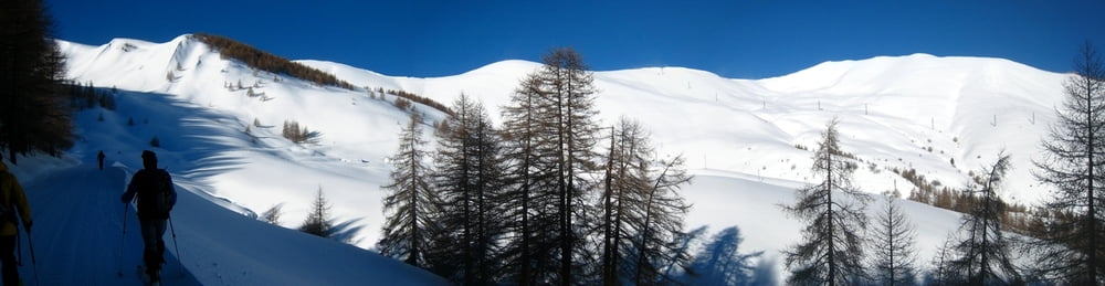
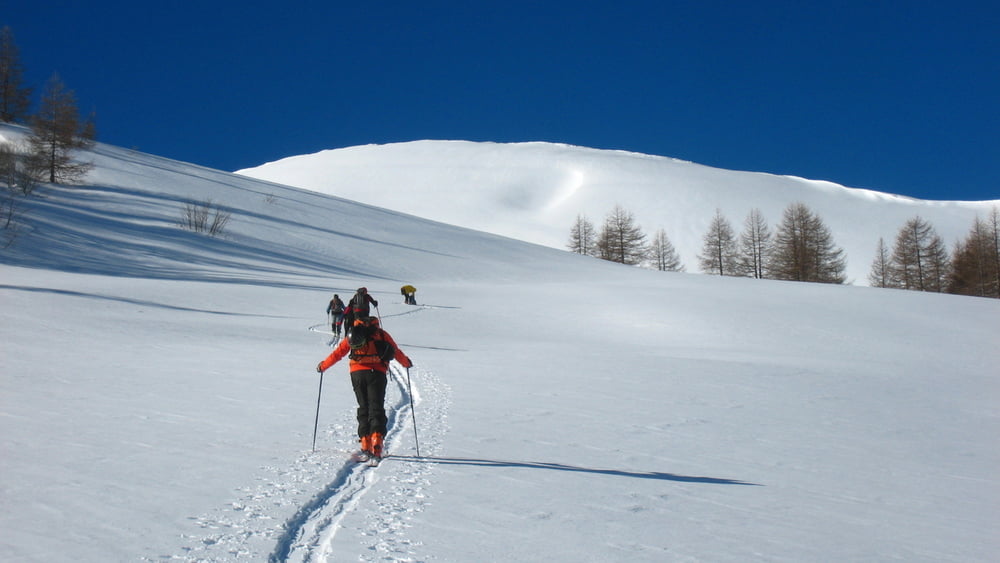
Da Monesi per ampi pendii senza pericolo di valanghe ma con vento molto forte.


Further information at

http://trumpyroberto.zonerama.com/Album/263765

Tour gallery

Tour map and elevation profile

  • Open Street Map
  • Google
Minimum height 1359 m Maximum height 2261 m Detailed view

More about the tour author

Trumpy
Member since 2014

Send private message

Comments

GPS tracks

Trackpoints
  • GPX / Garmin Map Source (gpx) download
  • TCX / Garmin Training Center® (tcx) download
  • CRS / Garmin Training Center® (crs) download
  • Google Earth (kml) download
  • G7ToWin (g7t) download
  • TTQV (trk) download
  • Overlay (ovl) download
  • Fugawi (txt) download
  • Kompass (DAV) Track (tk) download
  • Track data sheet (pdf) download
  • Original file of the author (gpx) download

More about the tour author

Trumpy
Member since 2014

Send private message
Share track
Add to my favorites
Remove from my favorites
Edit tags
My score
Rate
Track: Monesi - Redentore Scialpinismo 2014
Type: Ski touring
Distance: 20,2 km
Evaluated on:
Duration:
Day(s)
Hour(s)
Minute(s)
Score: Landscape Fun factor Fitness Technique