


Vom Parkplatzende zur Mittelstation der Jennerbahn, 1185 m und auf einer Almstraße unterhalb des Dr.-Hugo-Beck-Hauses durch einen Waldgürtel. Entlang der Westflanke des Jenners nahezu eben nach Süden.Leicht bergab zu einem Wegweiser an der Wegteilung Königsbachalm.
Geradeaus weiter, kurz etwas steil hinauf zur Enzianbrennerei Grassl. Über das Priesberger Moos hinauf zur Oberen Priesbergeralm, 1460 m
Der Rückweg erfolgt auf dem Anstiegsweg.
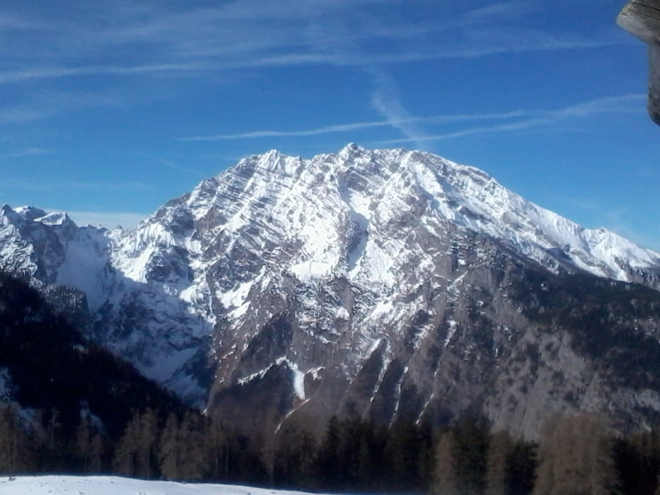
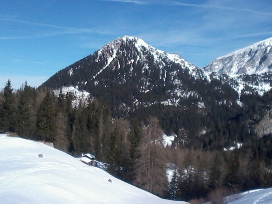
Tour gallery
Tour map and elevation profile
Minimum height 1098 m
Maximum height 1496 m
More about the tour author

|
JoHangler |
Comments

Parkplatz Hinterbrand, 1120 m. Von Berchtesgaden auf der Bergstraße nach Obersalzberg, von dort über Scharitzkehl nach Hinterbrand.
GPS tracks
Trackpoints-
GPX / Garmin Map Source (gpx) download
-
TCX / Garmin Training Center® (tcx) download
-
CRS / Garmin Training Center® (crs) download
-
Google Earth (kml) download
-
G7ToWin (g7t) download
-
TTQV (trk) download
-
Overlay (ovl) download
-
Fugawi (txt) download
-
Kompass (DAV) Track (tk) download
-
Track data sheet (pdf) download
-
Original file of the author (gpx) download
More about the tour author
|
|
JoHangler |
Add to my favorites
Remove from my favorites
Edit tags
Open track
My score
Rate