


De Maashorst is een weinig bekend natuurgebied in NO Brabant. Het op een na grootste natuurgebied van Nederland!
Deze korte wandeling geeft een mooie indruk van het gevarieerde landschap.
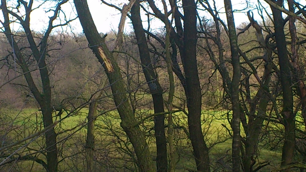
Het verschijnsel van een hoge horst (de Maashorst) en het oostelijke liggend lager terrein (Slenk) is hier al waar te nemen.
Further information at
http://www.demaashorst.nl/Tour gallery

Tour map and elevation profile
Minimum height -47 m
Maximum height 39 m
More about the tour author
|
|
Irenejohan |
Comments

De route loopt over makkelijk begaanbare bospaden. In het gehucht Slabroek is een bezoekerscentrum met gelegenheid om wat te eten en drinken. Daarnaast is er een Galerie met een uitgebreidere horeca voorziening.
GPS tracks
Trackpoints-
GPX / Garmin Map Source (gpx) download
-
TCX / Garmin Training Center® (tcx) download
-
CRS / Garmin Training Center® (crs) download
-
Google Earth (kml) download
-
G7ToWin (g7t) download
-
TTQV (trk) download
-
Overlay (ovl) download
-
Fugawi (txt) download
-
Kompass (DAV) Track (tk) download
-
Track data sheet (pdf) download
-
Original file of the author (gpx) download
More about the tour author
|
|
Irenejohan |
Add to my favorites
Remove from my favorites
Edit tags
Open track
My score
Rate