Login

Forgot your login?

Cookies have to be accepted!
Your browser's cookie functionality is disabled. Please enable this functionality.

Not a member yet?

Register now
Login

Available for registred users only

Log in to use this feature.

Forgot your login?

Cookies have to be accepted!
Your browser's cookie functionality is disabled. Please enable this functionality.

Not a member yet?

Register now
Filter
Categories
Advanced filters
  • Distance (km)
  • Height
Save filters Reset filter

TrackRank

QRCode

Technical data

Distance43,1 km Height511 m Way down685 m Duration03:00 h:m Date16.02.2014
Scores Author Landscape Fun factor Fitness Technique

Statistics

269 Views Scores 30 Downloads Average
Rate
  • Track data sheet
  • Directions
  • Downloads

Fortsetzung von Tour 3

Nach kurzer Rast im malerischen Ortskern von Pajara ins Landesinnere. Nach Toto, Florido, Las Casitas in Richtung Küste. In La Lajita wieder auf die Küstenstrasse nach Costa Calma zurück.
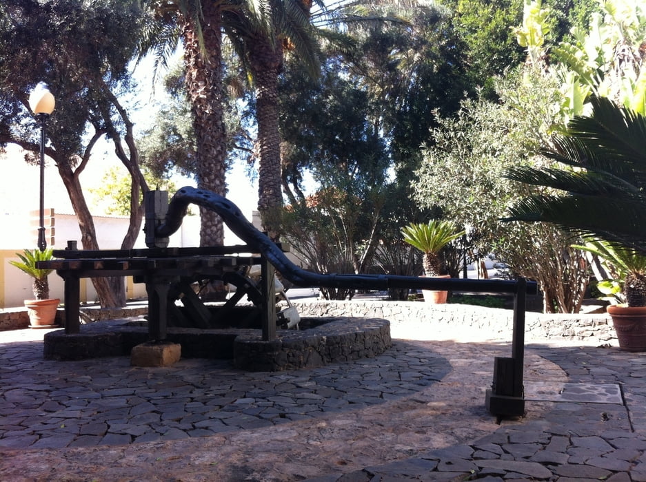


Tour gallery

Tour map and elevation profile

  • Open Street Map
  • Google
Minimum height 1 m Maximum height 386 m Detailed view

More about the tour author

Astro
Member since 2009

Send private message

Comments


Mit dem Flieger und Auto nach Fuerteventura Süd, Costa Calma


GPS tracks

Trackpoints
  • GPX / Garmin Map Source (gpx) download
  • TCX / Garmin Training Center® (tcx) download
  • CRS / Garmin Training Center® (crs) download
  • Google Earth (kml) download
  • G7ToWin (g7t) download
  • TTQV (trk) download
  • Overlay (ovl) download
  • Fugawi (txt) download
  • Kompass (DAV) Track (tk) download
  • Track data sheet (pdf) download
  • Original file of the author (gpx) download

More about the tour author

Astro
Member since 2009

Send private message
Share track
Add to my favorites
Remove from my favorites
Edit tags
My score
Rate
Track: (Von Zeil am Main) Eine Fuerteventura-Runde, 4
Type: Road biking
Distance: 43,1 km
Evaluated on:
Duration:
Day(s)
Hour(s)
Minute(s)
Score: Landscape Fun factor Fitness Technique