

Aufstieg: 2Stunden
Abfahrt: 25min.
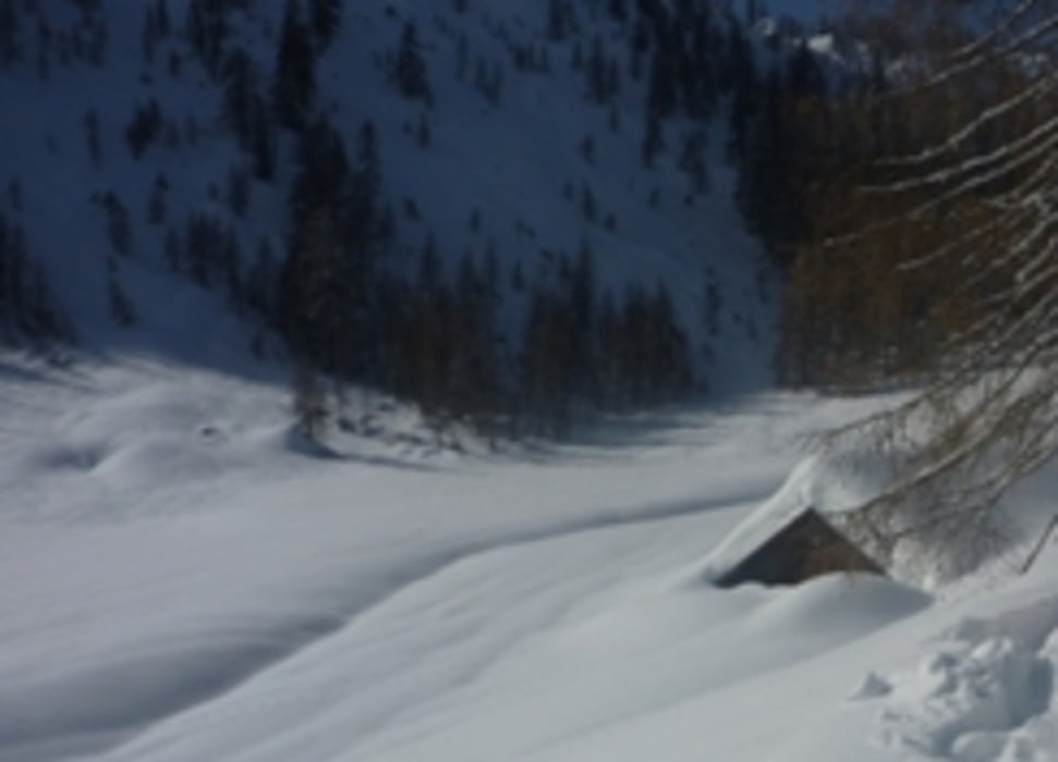
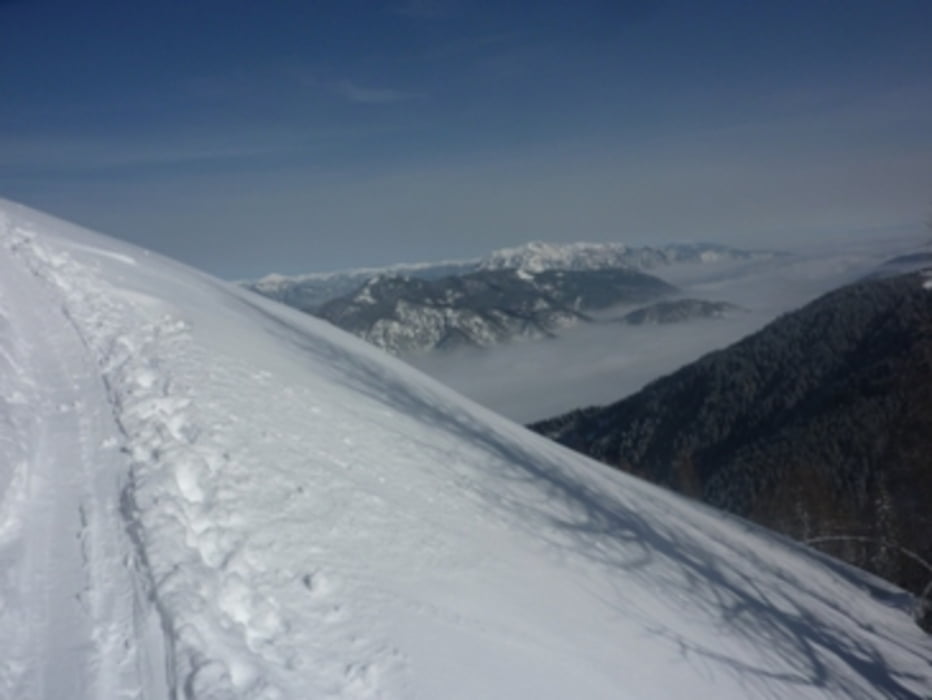
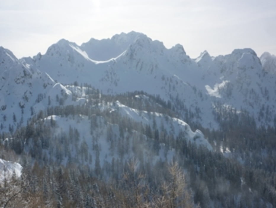
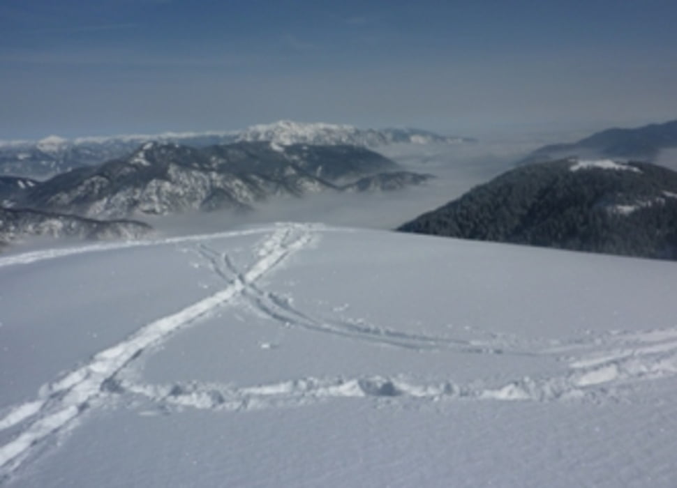
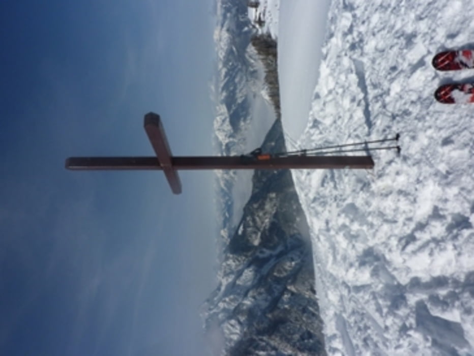
Tour gallery
Tour map and elevation profile
Minimum height 734 m
Maximum height 1733 m
More about the tour author
|
|
harald07071 |
Comments

Von Tarvis Richtung Camporosso kurz vor dem Kreisverkehr Camporosso nach links in die Via Lussari dann weiter ca.300m zum Parkplatz.
GPS tracks
Trackpoints-
GPX / Garmin Map Source (gpx) download
-
TCX / Garmin Training Center® (tcx) download
-
CRS / Garmin Training Center® (crs) download
-
Google Earth (kml) download
-
G7ToWin (g7t) download
-
TTQV (trk) download
-
Overlay (ovl) download
-
Fugawi (txt) download
-
Kompass (DAV) Track (tk) download
-
Track data sheet (pdf) download
-
Original file of the author (gpx) download
More about the tour author
|
|
harald07071 |
Add to my favorites
Remove from my favorites
Edit tags
Open track
My score
Rate