
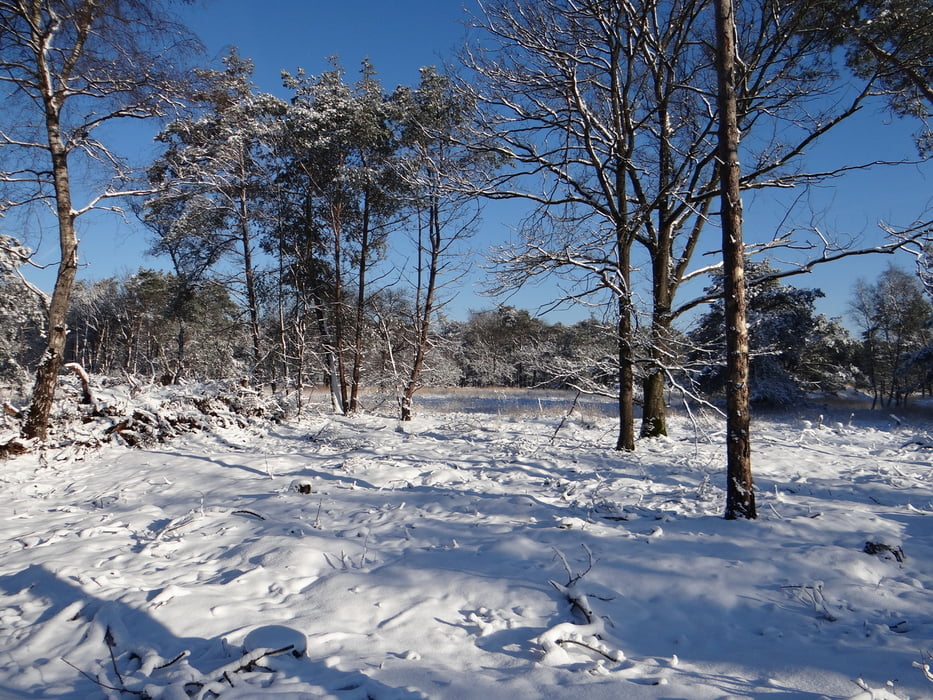

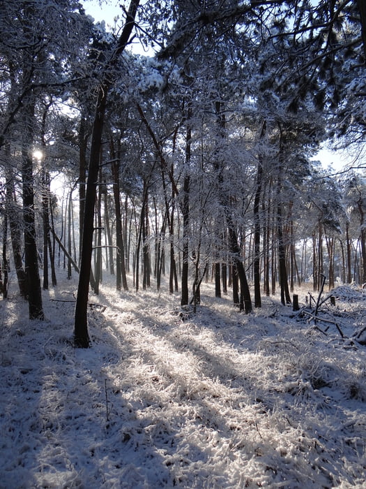
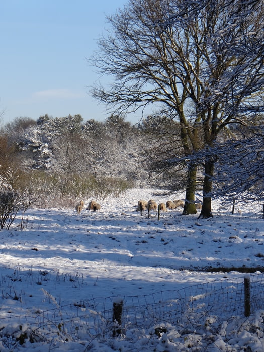
Een mooie tocht, door ons ondernomen in de winter, met 10 cm sneeuw. Maar in alle jaargetijden een mooie tocht door bos, over heide. Je loopt naar Slabroek, waar horeca is, en terug.
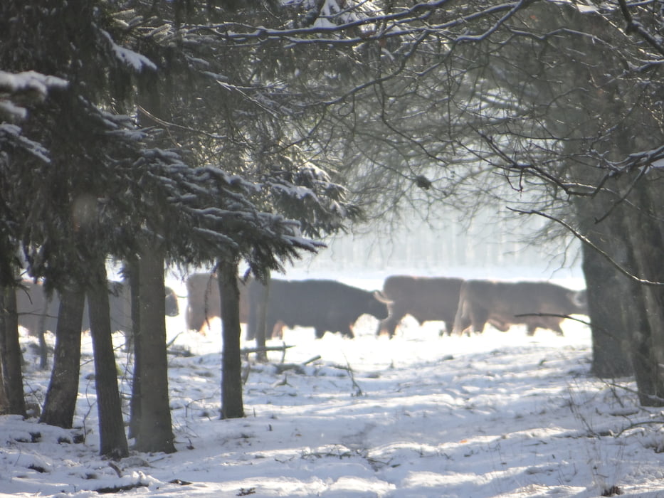
Het afwisselende landschap met begrazing door Schotse hooglanders.
Further information at
http://www.demaashorst.nl/Tour gallery

Tour map and elevation profile
Minimum height 99999 m
Maximum height -99999 m
More about the tour author
|
|
Irenejohan |
Comments

Parkeer de auto op de parkeerplaats aan de Slabroekseweg, bij de Rijksweg. De route loopt over bospaden en is goed begaanbaar.
Let op met honden bij de Schotse Hooglanders
GPS tracks
Trackpoints-
GPX / Garmin Map Source (gpx) download
-
TCX / Garmin Training Center® (tcx) download
-
CRS / Garmin Training Center® (crs) download
-
Google Earth (kml) download
-
G7ToWin (g7t) download
-
TTQV (trk) download
-
Overlay (ovl) download
-
Fugawi (txt) download
-
Kompass (DAV) Track (tk) download
-
Track data sheet (pdf) download
-
Original file of the author (gpx) download
More about the tour author
|
|
Irenejohan |
Add to my favorites
Remove from my favorites
Edit tags
Open track
My score
Rate