Login

Forgotten password?

Cookies have to be accepted!
Your browser's cookie functionality is disabled. Please enable this functionality.

Not a member yet?

Register now
Login

Available for registred users only

Log in to use this feature.

Forgotten password?

Cookies have to be accepted!
Your browser's cookie functionality is disabled. Please enable this functionality.

Not a member yet?

Register now
Filter
Categories
Advanced filters
  • Distance (km)
  • Height
Save filters Reset filter

TrackRank

QRCode

Technical data

Distance27,1 km Height372 m Way down304 m Duration02:38 h:m Date23.02.2014
Scores Author Landscape Fun factor Fitness Technique

Statistics

96 Views Scores 8 Downloads Average
Rate
  • Track data sheet
  • Directions
  • Downloads

Start in der Falkenstraße, über die Straße und direkt nach Siepen, über Heesfelder Mühle und Steinbach nach Schalksmühle, neuen Kreisel begutachtet und auf der B 54 weiter bis Dahlerbrück und die Glörstraße hoch zur Glörsperre.......
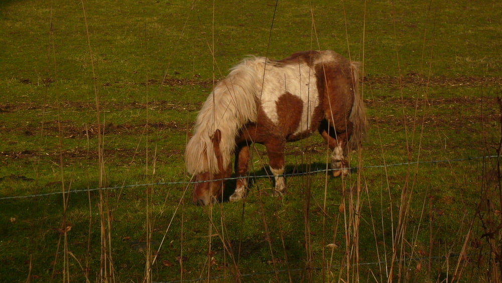
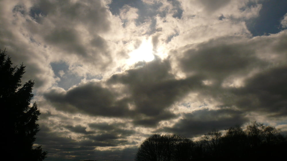
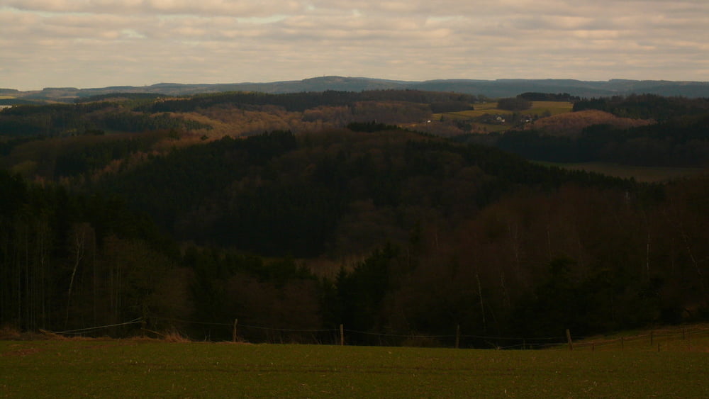
 

Tour gallery

Tour map and elevation profile

  • Open Street Map
  • Google
Minimum height 219 m Maximum height 433 m Detailed view

More about the tour author

neuser
Member since 2010

Send private message

Comments

GPS tracks

Trackpoints
  • GPX / Garmin Map Source (gpx) download
  • TCX / Garmin Training Center® (tcx) download
  • CRS / Garmin Training Center® (crs) download
  • Google Earth (kml) download
  • G7ToWin (g7t) download
  • TTQV (trk) download
  • Overlay (ovl) download
  • Fugawi (txt) download
  • Kompass (DAV) Track (tk) download
  • Track data sheet (pdf) download
  • Original file of the author (gpx) download

More about the tour author

neuser
Member since 2010

Send private message
Share track
Add to my favorites
Remove from my favorites
Edit tags
My score
Rate
Track: 2. Tour 2014- zur Glör
Type: Mountain bike
Distance: 27,1 km
Evaluated on:
Duration:
Day(s)
Hour(s)
Minute(s)
Score: Landscape Fun factor Fitness Technique