


Bei frühlingshaften 10 Grad (im Februar!) und strahlendem Sonnenschein sollte es die Tour nach Blankensee sein.
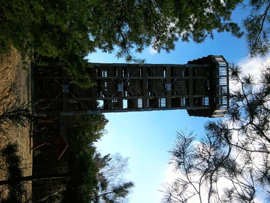
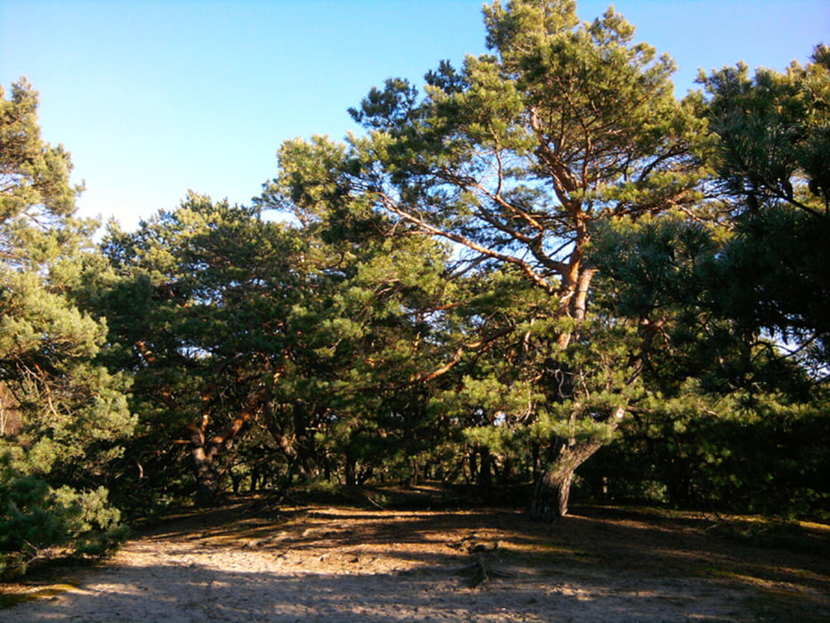
Mit dem Regionalexpress bis Trebbin, dort gleich "steil" bergauf zum Aussichtsturm auf dem Löwendorfer Berg (103 m), weiter durch lichte Kiefernwälder Richtung Blankensee.
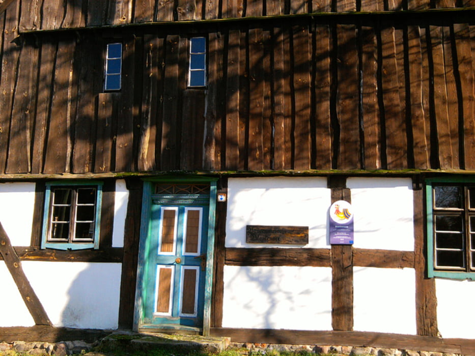
Dieses Dorf ist auf jeden Fall eine Reise wert.
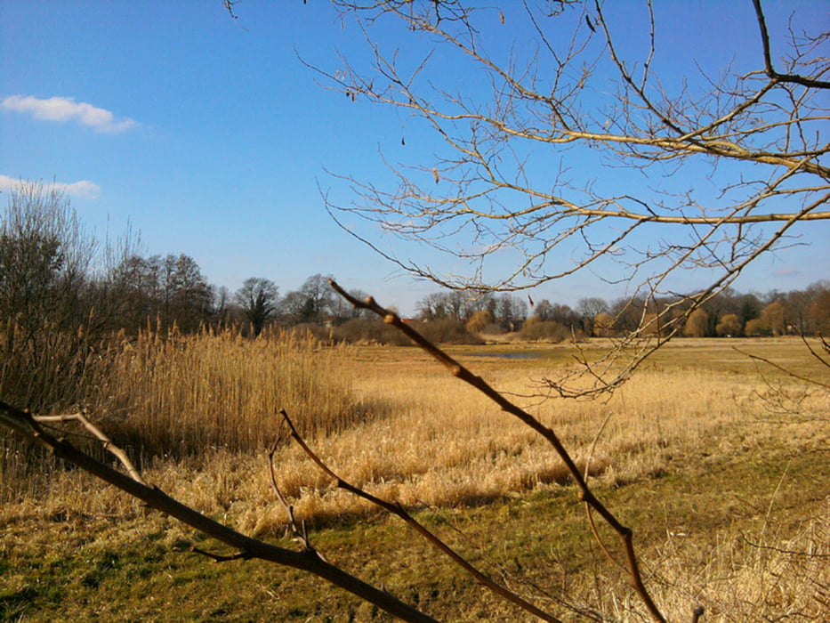
Zurück durch die Glauer Berge und die Nuthe-Niederung nach Thyrow.
Insgesamt 28 km - ohne Auto geht's kaum kürzer.
Further information at
http://xxrhahn.de/touren/trebbin-blankensee/index.htmlTour gallery
Tour map and elevation profile
Minimum height -1 m
Maximum height 160 m
More about the tour author

|
xxrhahn |
Comments

An und Abfahrt mit dem Regionalexpress, der stündlich verkehrt
GPS tracks
Trackpoints-
GPX / Garmin Map Source (gpx) download
-
TCX / Garmin Training Center® (tcx) download
-
CRS / Garmin Training Center® (crs) download
-
Google Earth (kml) download
-
G7ToWin (g7t) download
-
TTQV (trk) download
-
Overlay (ovl) download
-
Fugawi (txt) download
-
Kompass (DAV) Track (tk) download
-
Track data sheet (pdf) download
-
Original file of the author (gpx) download
More about the tour author
|
|
xxrhahn |
Add to my favorites
Remove from my favorites
Edit tags
Open track
My score
Rate