


Startpunkt ist beim Parkplatz Rinken. Von dort sind wir zur Baltenweger Hütte und von dort zum Feldberg-Turm. Dann ging es weiter zur Todtnauer Hütte zur Einkehr. Der Rückweg ging über Wilhelmer-Hütte und Zastler-Hütte zum Ausgangspunkt zurück.
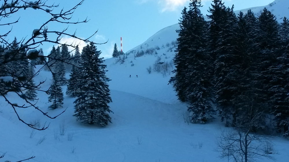
Beim Aufstieg von der Baltenweger Hütte bitte je nach Schneelage die Lawinen- und Schneebrettgefahr beachten. Gegebenenfalls Variante Richtung Bismarckdenkmal wählen.
Tour gallery
Tour map and elevation profile
Minimum height 1167 m
Maximum height 1518 m
More about the tour author
|
|
Arturo123 |
Comments

Von Hinterzarten Wegbeschilderung Richtung Alpersbach und Rinken folgen.
GPS tracks
Trackpoints-
GPX / Garmin Map Source (gpx) download
-
TCX / Garmin Training Center® (tcx) download
-
CRS / Garmin Training Center® (crs) download
-
Google Earth (kml) download
-
G7ToWin (g7t) download
-
TTQV (trk) download
-
Overlay (ovl) download
-
Fugawi (txt) download
-
Kompass (DAV) Track (tk) download
-
Track data sheet (pdf) download
-
Original file of the author (gpx) download
More about the tour author
|
|
Arturo123 |
Add to my favorites
Remove from my favorites
Edit tags
Open track
My score
Rate