

Die zweite Etappe des Kasselsteigs führt vom Bahnhof in Ahnatal Weimar zum Bahnhof in Espenau Mönchehof.
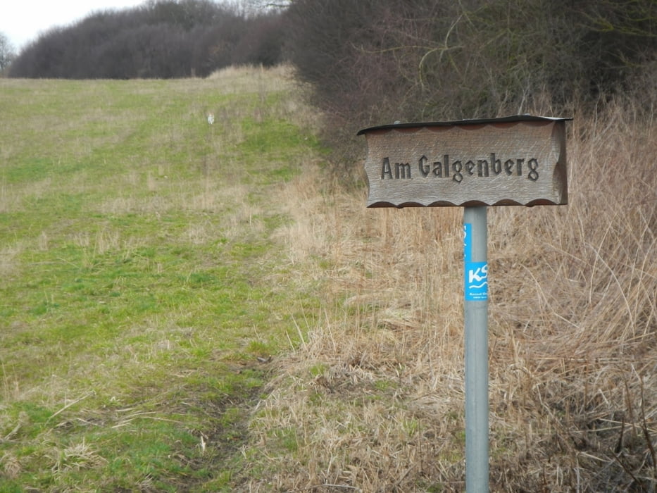
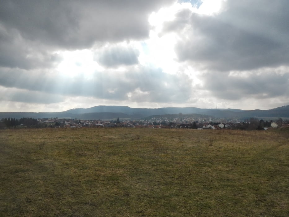
Wunderbarer Panoramaweg oberhalb von Ahnatal Weimar mit vielen Aussichtspunkten und historischen Landmarken.
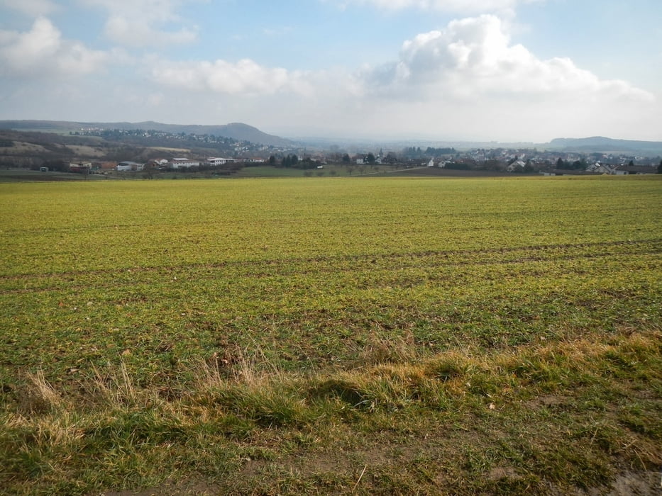
Um den Stahlberg bei Heckershausen herum ein wenig mehr Wald.
Alles in allem eine leichte Einsteigeretappe und an einem Nachmittag locker zu gehen.
Einkehrmöglichkeit im Waldhotel Schäferberg, hier sind Wanderer willkommen.
Tour gallery
Tour map and elevation profile
Minimum height 238 m
Maximum height 328 m
More about the tour author
|
|
derpeter |
Comments

GPS tracks
Trackpoints-
GPX / Garmin Map Source (gpx) download
-
TCX / Garmin Training Center® (tcx) download
-
CRS / Garmin Training Center® (crs) download
-
Google Earth (kml) download
-
G7ToWin (g7t) download
-
TTQV (trk) download
-
Overlay (ovl) download
-
Fugawi (txt) download
-
Kompass (DAV) Track (tk) download
-
Track data sheet (pdf) download
-
Original file of the author (gpx) download
More about the tour author
|
|
derpeter |
Add to my favorites
Remove from my favorites
Edit tags
Open track
My score
Rate