


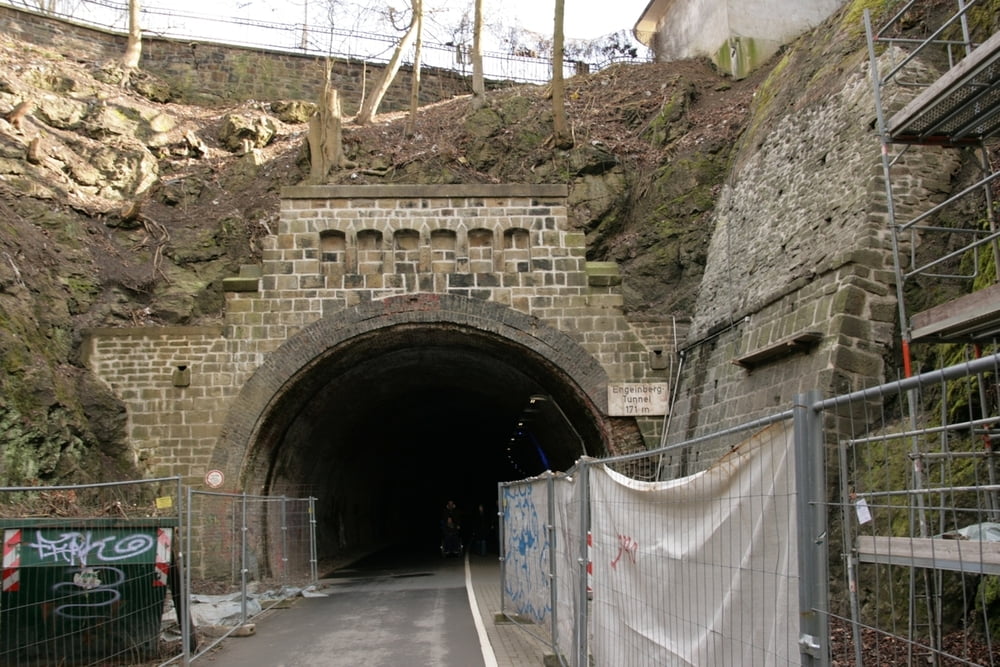
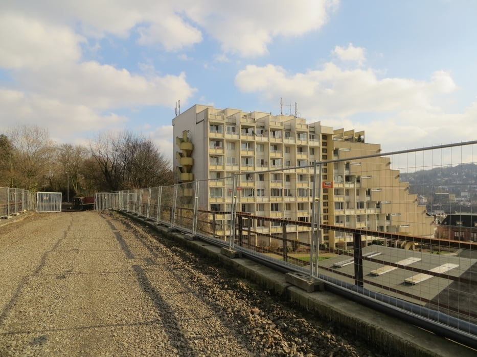
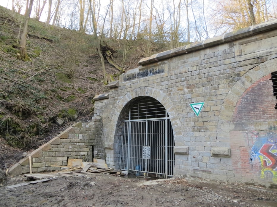
Einige Viadukte und Tunnel sind noch im Bau - werden aber in der nächsten Zeit vollkommen geöffnet werden. Wir haben nur den Rotter Tunnel und die dahinterligende Brücke nicht nutzen können. Alles andere war offen. Unsere Tour führt vom Bahnhof Vohwinkel bis zum Tunnel Schee und von dort über den Rundwanderweg Wuppertal (W) zur Bushaltestelle Hölker Feld.
Einfache Wanderung mit interessanten Blicken.
Further information at
http://www.wuppertalbewegung-ev.de/Tour gallery
Tour map and elevation profile
Minimum height 152 m
Maximum height 301 m
More about the tour author
|
|
Schiller1963 |
Comments

Startpunkt: Bf. Wuppertal-Vohwinkel
Endpunkt. Bus Hölker Feld (Linie 632 der WSW).
Von allen der Punkten der Bahn lassen sich gut ÖPNV-Verbindungen nutzen.
GPS tracks
Trackpoints-
GPX / Garmin Map Source (gpx) download
-
TCX / Garmin Training Center® (tcx) download
-
CRS / Garmin Training Center® (crs) download
-
Google Earth (kml) download
-
G7ToWin (g7t) download
-
TTQV (trk) download
-
Overlay (ovl) download
-
Fugawi (txt) download
-
Kompass (DAV) Track (tk) download
-
Track data sheet (pdf) download
-
Original file of the author (gpx) download
More about the tour author
|
|
Schiller1963 |
Add to my favorites
Remove from my favorites
Edit tags
Open track
My score
Rate