


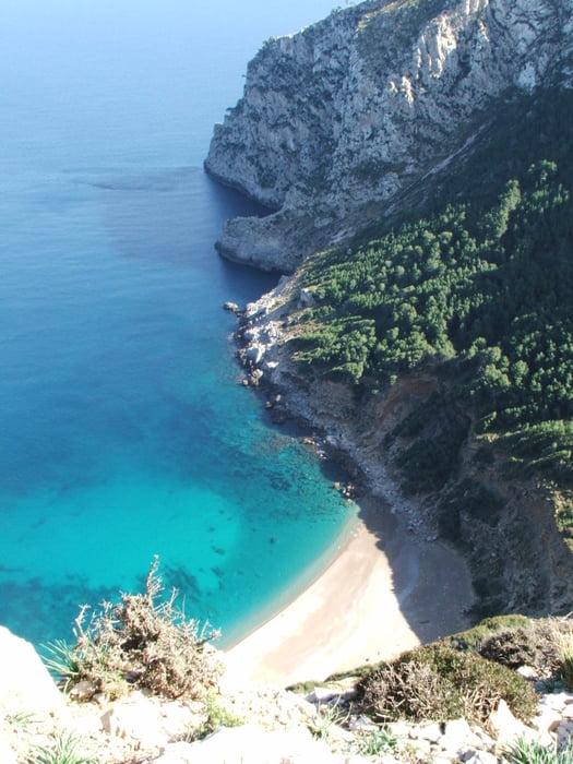
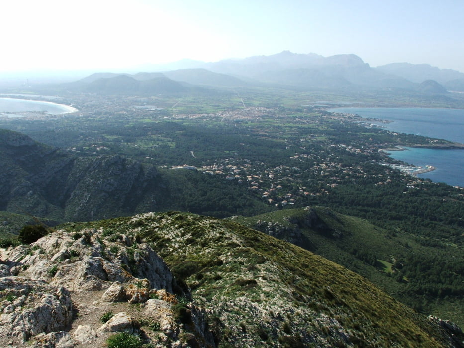
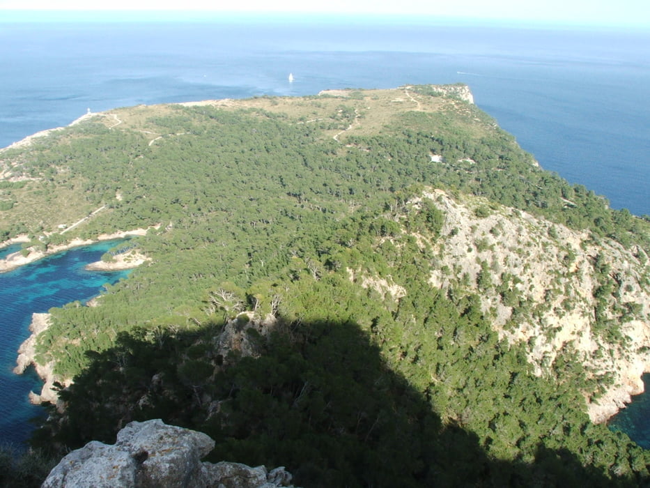
Wegverlauf: Ermita de la Victoria - Coll de ses Fontanelles - Coll de na Beneta - Refugi des Coll Baix - Puig des Boc - Talaia d' Alcúdia - Coll des Pedregaret - Penya Roja - Coll des Pedregaret - Ermita de la Victoria
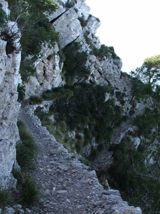
Vier Sterne für Technik wegen des Abstechers zur Penya Roja. Schmaler, ausgesetzter Pfad, am Gipfel Geröll und kaum Markierungen.
Tour gallery
Tour map and elevation profile
Minimum height 31 m
Maximum height 445 m
More about the tour author
|
|
lothardomnik |
Comments

Von Alcúdia zunächst Richtung Mal Pas, dann der Straße weiter folgen bis zum Abzweig zur Ermita. Keine Busverbindung.
GPS tracks
Trackpoints-
GPX / Garmin Map Source (gpx) download
-
TCX / Garmin Training Center® (tcx) download
-
CRS / Garmin Training Center® (crs) download
-
Google Earth (kml) download
-
G7ToWin (g7t) download
-
TTQV (trk) download
-
Overlay (ovl) download
-
Fugawi (txt) download
-
Kompass (DAV) Track (tk) download
-
Track data sheet (pdf) download
-
Original file of the author (gpx) download
More about the tour author
|
|
lothardomnik |
Add to my favorites
Remove from my favorites
Edit tags
Open track
My score
Rate