


Wegverlauf: Landstraße Ma-10 - Finca Mossa - Pas d'en Segarra - Finca Es Cosconer - Finca Aubarca - Kloster Lluc - Landstraße Ma-10
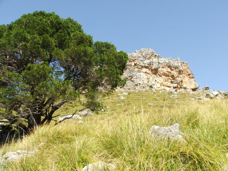
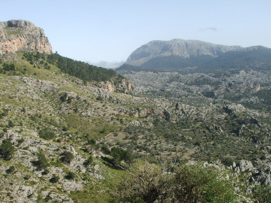
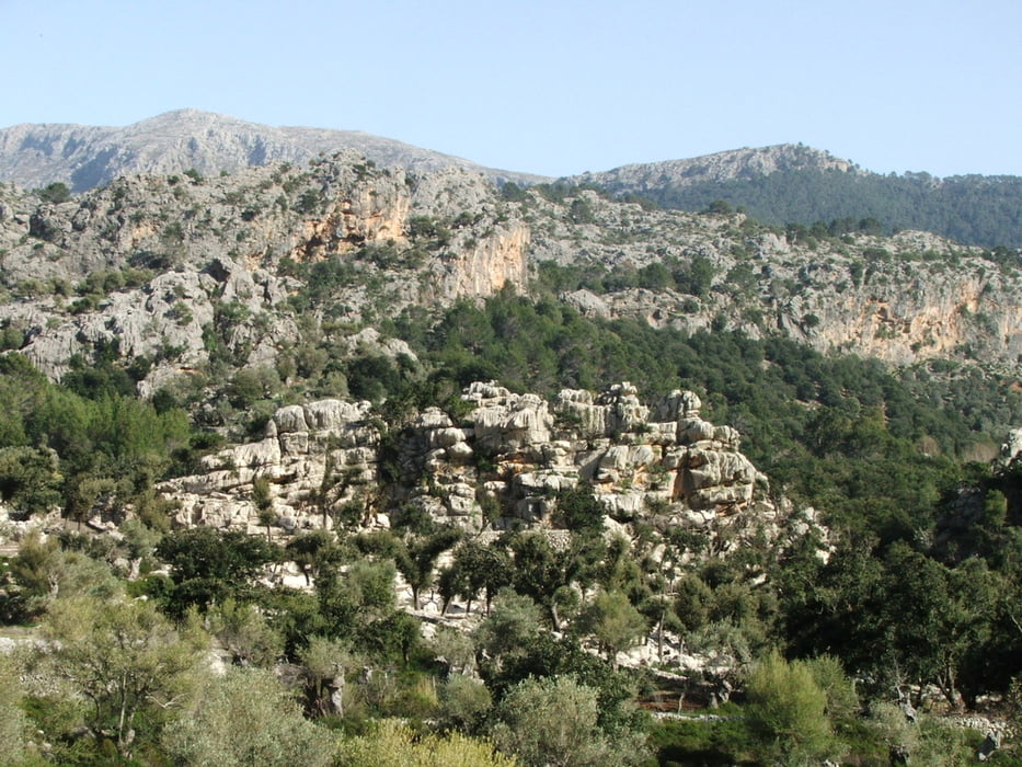
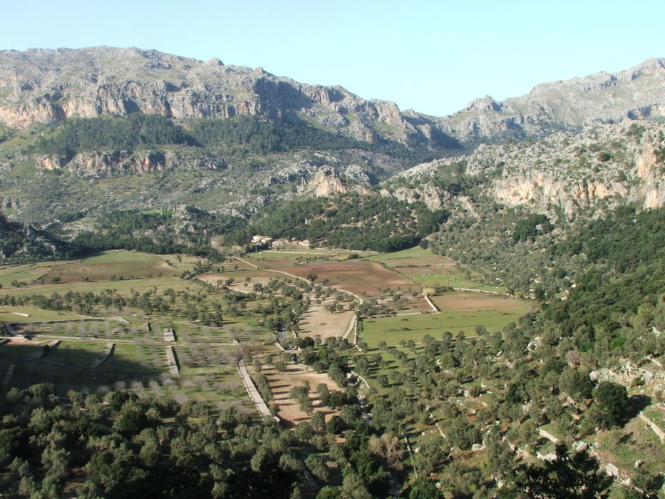
Die Wanderung führt um den Puig Roig herum mit Blick auf das Meer, dann auf einem Fahrweg hinunter und durch ein flaches Tal. Nach steilem Aufstieg zum Kloster durch eine Felsenlandschaft zum Ausgangspunkt.
Achtung: die Runde ist nur an Sonntagen möglich, der Zugang ist an anderen Tagen gesperrt!
Tour gallery
Tour map and elevation profile
Minimum height 308 m
Maximum height 693 m
More about the tour author
|
|
lothardomnik |
Comments

An der Landstraße gibt es zwei Picknickplätze, an denen geparkt werden kann. Wenn man als Start- und Endpunkt das Kloster wählt, fallen 6 Euro Parkgebühr an.
GPS tracks
Trackpoints-
GPX / Garmin Map Source (gpx) download
-
TCX / Garmin Training Center® (tcx) download
-
CRS / Garmin Training Center® (crs) download
-
Google Earth (kml) download
-
G7ToWin (g7t) download
-
TTQV (trk) download
-
Overlay (ovl) download
-
Fugawi (txt) download
-
Kompass (DAV) Track (tk) download
-
Track data sheet (pdf) download
-
Original file of the author (gpx) download
More about the tour author
|
|
lothardomnik |
Add to my favorites
Remove from my favorites
Edit tags
Open track
My score
Rate