Login

Forgot your login?

Cookies have to be accepted!
Your browser's cookie functionality is disabled. Please enable this functionality.

Not a member yet?

Register now
Login

Available for registred users only

Log in to use this feature.

Forgot your login?

Cookies have to be accepted!
Your browser's cookie functionality is disabled. Please enable this functionality.

Not a member yet?

Register now
Filter
Categories
Advanced filters
  • Distance (km)
  • Height
Save filters Reset filter

TrackRank

QRCode

Technical data

Distance9,4 km Height591 m Way down599 m Duration04:30 h:m Date05.03.2014
Scores Author Landscape Fun factor Fitness Technique

Statistics

304 Views Scores 44 Downloads Average
Rate
  • Track data sheet
  • Directions
  • Downloads

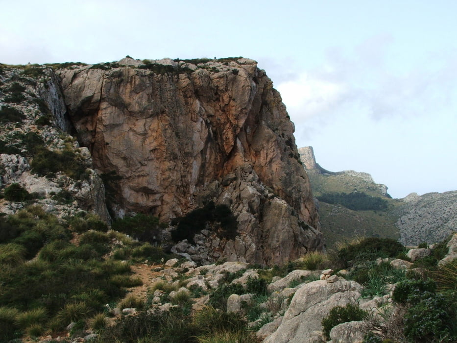
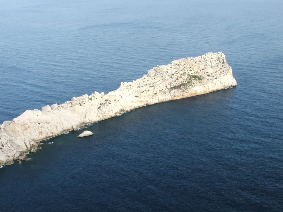
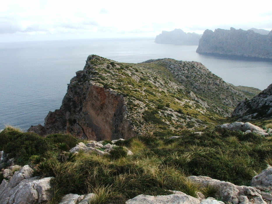
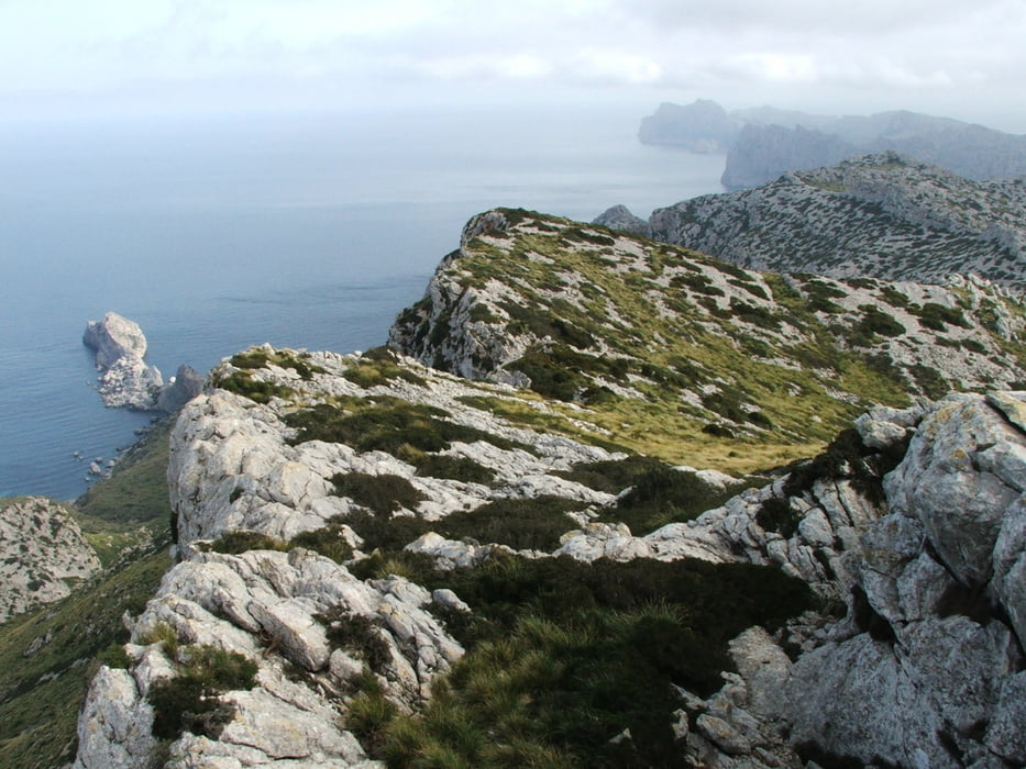
Wegverlauf: Cala Sant Vincenç - Pas dels Pescadors - Cornayaques - la Mola - Cala Sant Vincenç


Aufstieg auf steinigem Fahrweg, dann weglos zum Gipfel Cornayaques. Dort Rundumsicht. Der Abstieg von la Mola ist extrem steil und deshalb sehr schwierig.

Tour gallery

Tour map and elevation profile

  • Open Street Map
  • Google
Minimum height 18 m Maximum height 549 m Detailed view

More about the tour author

lothardomnik
Member since 2009

Send private message

Comments

Von der Straße Pollença - Port de Pollença (Ma-2200) nach Norden Richtung Cala Sant Vincenç abbiegen, bis kurz vor Ende der Straße fahren. 


GPS tracks

Trackpoints
  • GPX / Garmin Map Source (gpx) download
  • TCX / Garmin Training Center® (tcx) download
  • CRS / Garmin Training Center® (crs) download
  • Google Earth (kml) download
  • G7ToWin (g7t) download
  • TTQV (trk) download
  • Overlay (ovl) download
  • Fugawi (txt) download
  • Kompass (DAV) Track (tk) download
  • Track data sheet (pdf) download
  • Original file of the author (gpx) download

More about the tour author

lothardomnik
Member since 2009

Send private message
Share track
Add to my favorites
Remove from my favorites
Edit tags
My score
Rate
Track: Mallorca: Cala de Sant Vincenç
Type: Mountain hiking
Distance: 9,4 km
Evaluated on:
Duration:
Day(s)
Hour(s)
Minute(s)
Score: Landscape Fun factor Fitness Technique