


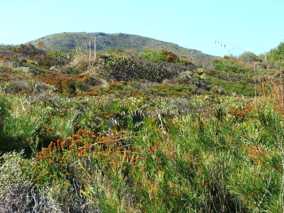
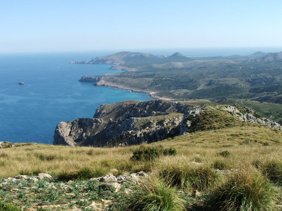
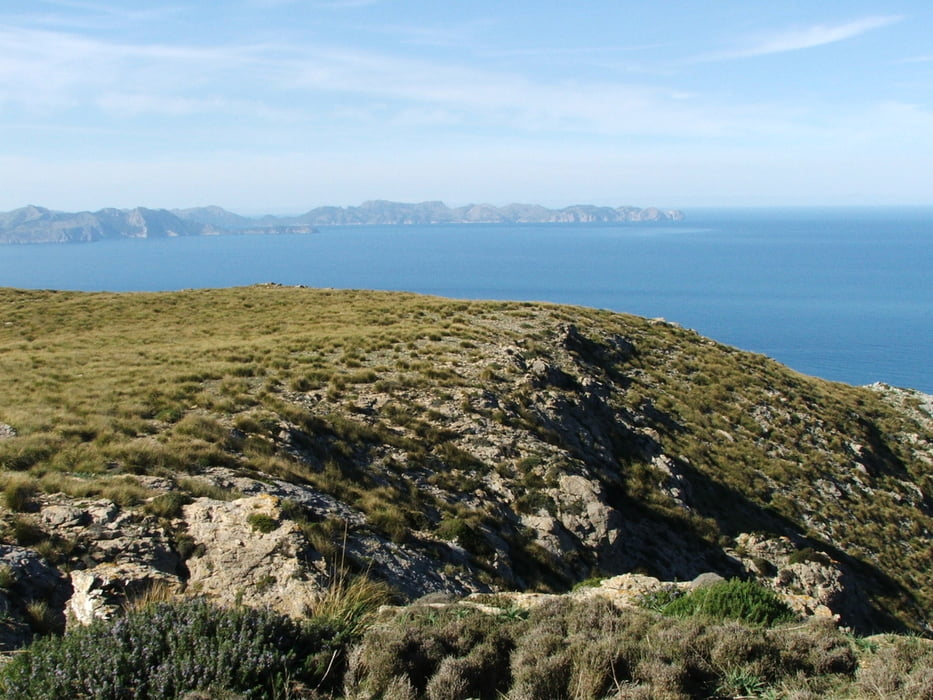
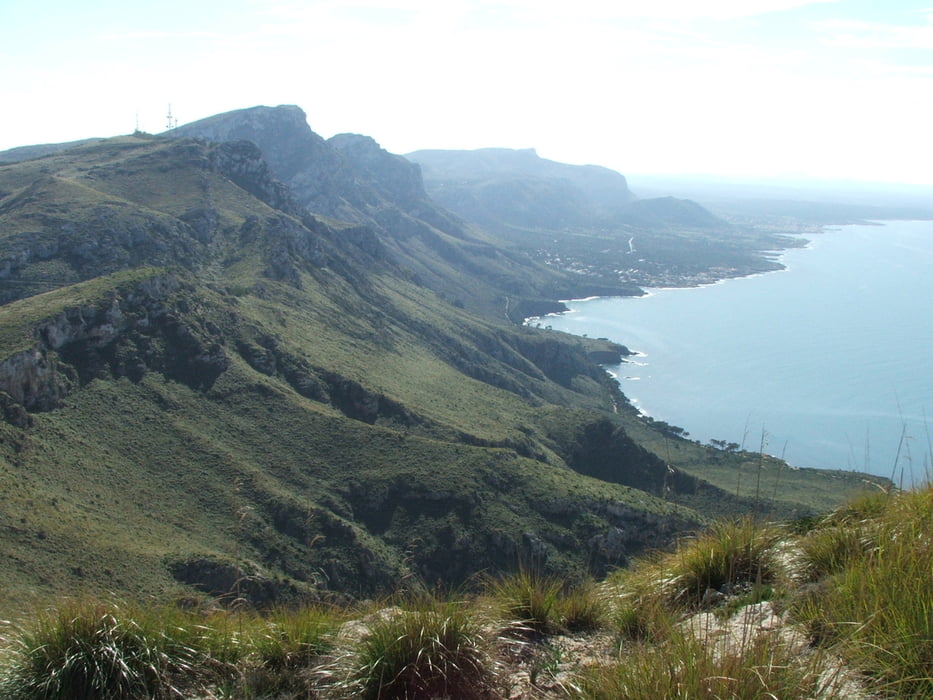
Wegverlauf: S' Alqueria Vella - Es Verger - Caseta de s' Arenalet - Talaia de Moreia - s' Alqueria Vella
Zunächst leicht ansteigend bis zu einem Sattel, dann absteigend auf einem Fahrweg, dann fast weglos mit wenigen Markierungen zur Cala de sa Font Celada. Aufstieg zur Talaia de Moreia, erst auf einem Pfad, dann weglos. Rundumsicht über den ganzen Norden und Osten Mallorcas und sogar bis Menorca. Zum Ausgangspunkt auf einem Fahrweg mit einer Abkürzung auf einem Pfad.
Tour gallery
Tour map and elevation profile
Minimum height 5 m
Maximum height 435 m
More about the tour author
|
|
lothardomnik |
Comments

Von Artà Richtung Ermita de Betlem, dann den Hinweisschildern zum Parque natural folgen.
GPS tracks
Trackpoints-
GPX / Garmin Map Source (gpx) download
-
TCX / Garmin Training Center® (tcx) download
-
CRS / Garmin Training Center® (crs) download
-
Google Earth (kml) download
-
G7ToWin (g7t) download
-
TTQV (trk) download
-
Overlay (ovl) download
-
Fugawi (txt) download
-
Kompass (DAV) Track (tk) download
-
Track data sheet (pdf) download
-
Original file of the author (gpx) download
More about the tour author
|
|
lothardomnik |
Add to my favorites
Remove from my favorites
Edit tags
Open track
My score
Rate